What is recorded here
The OS Letters (1838, 224 (95)) record that 'In the Townland of Kilmacduagh also in Kilmainebeg there is a graveyard in which a small old church dedicated to Saint Mac Duach had stood, and which gave name to the townland'. A rectangular walled area, accessed at the SE corner by a road, is indicated as 'Old Grave Yard' on the 1838 OS 6-inch map. It is not marked as a graveyard on the 1929 edition but a rectangular field or enclosure (c. 35m NNW-SSE; c. 30m ENE-WSW), open at SE, is indicated. Lavelle (1994, 99, no. 678) recorded it as follows: ‘Shown on OS map (1838) as ‘Old Grave Yard’; with church (MA121-146001-). No visible surface traces.’
Compiled by: Jane O'Shaughnessy
Date of upload: 14 January 2015
The monument record does not grant public access. Check the route and ask the landowner before entering private land.
- What survives
- Recorded monument
Places near here
 Church in KilmacduaghChurch · 1 yd
 IndicatedEnclosure · 346 yd
 Mocorha CastleCastle · 999 yd
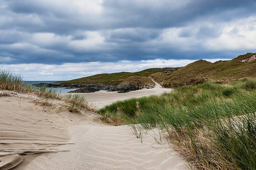 TobersharveHoly well · 1026 yd
 Castle in ruinsCastle, tower house · 1165 yd
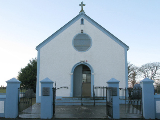 Catholic Church of the Assumptionchurch/chapel · 1450 yd
 Cregg PlantationForest · 2.7 mi
 Pesooge PlantationForest · 3.3 mi
 Gibbs IslandsIslet · 3.4 mi
 Red Island RockIslet · 4.0 mi
 Ross Errilly FriaryHeritage attraction · 4.0 mi
 School of FalconryHeritage attraction · 5.8 mi