What is recorded here
From OpenStreetMap (© OpenStreetMap contributors) w226363720
Places near here
Photo credits
- The Banner, Wikimedia Commons · CC BY-SA 3.0
- Maker not stated on source page, www.clareecho.ie
- National Inventory of Architectural Heritage
- Maker not stated on source page, en.wikipedia.org
- Maker not stated on source page, www.locationscout.net
- Maker not stated on source page, www.alamy.com
- Maker not stated on source page, www.dreamstime.com
- Sheila1988, Wikimedia Commons
- Joseph Mischyshyn, Geograph · Creative Commons Attribution-ShareAlike 2.0
- Golfing in Ireland; photographer not stated, Source publisher
 Church (in ruins)Church · 79 yd
Explorer Tom Church in Drumcliff in County Clare is playing hard to get on a steep slope. Rumour has it St Conald built it, but…
 Drumcliffe CemeteryCemetery · 232 yd
Explorer Tom Drumcliffe Cemetery in County Clare would bring a bag of old coins to any party just to show off its history. It’s very…
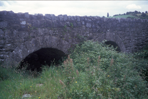 Ballymacquiggan BridgeBridge · 568 yd
Explorer Tom Ballymacquiggan Bridge in County Clare would tell a teenager that the 1800s were basically the same, just without Wi-Fi…
 Fairy fort / stone ringfort in BallymaquigginFairy fort / stone ringfort · 1580 yd
Explorer Tom Fairy fort / stone ringfort in Ballymaquiggin hears every argument between the neighbours through its walls and…
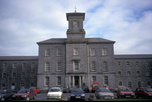 Our Lady's HospitalHospital/infirmary · 1624 yd
Explorer Tom Our Lady's Hospital in Dulick, County Clare is a massive former mental asylum with thirty-three bays. It looks like a…
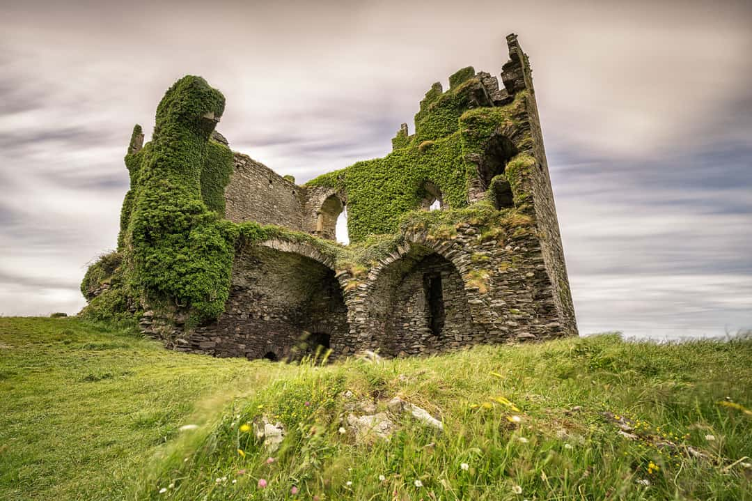 Ballyallia Castle (in Ruins)Castle, tower house · 1.1 mi
Explorer Tom Ballyallia Castle in Ballyallia is a tower house that probably judges your posture from a distance. The sheep out there…
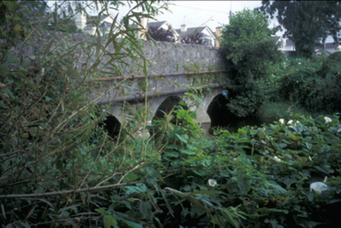 Claureen BridgeBridge · 1.2 mi
Explorer Tom Claureen Bridge in Claureen hates farmers with tractors that are too wide for its triple arches. It’s been holding up…
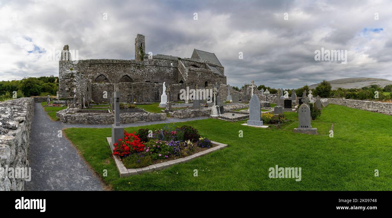 Mapped cemeteryCemetery · 1.2 mi
Explorer Tom This Mapped cemetery in County Clare would describe the 1800s to a teenager as 'no Wi-Fi, more rain, and everyone was…
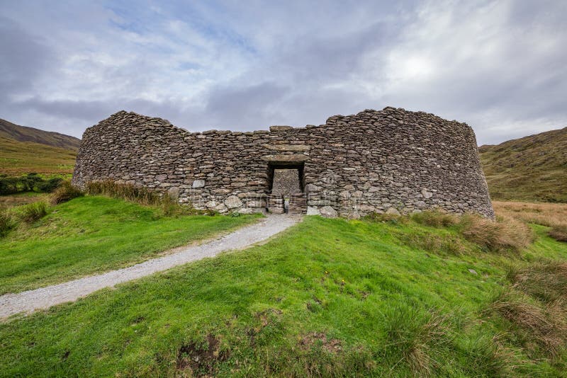 Fairy fort / stone ringfort in Drumcaran BegFairy fort / stone ringfort · 1.5 mi
Explorer Tom Fairy fort / stone ringfort in Drumcaran Beg gave up sugar for Lent but secretly stole it all back from the neighboring…
 Cusack ParkGAA ground · 1.6 mi
Explorer Tom Cusack Park puts Clare hurling in the heart of Ennis, where a strike can set off a roar before the sliotar has decided…
 McParlandHouse · 1.7 mi
Explorer Tom McParland started as a bet between two lads in the pub about who could build the oldest house in town, and they’ve been…
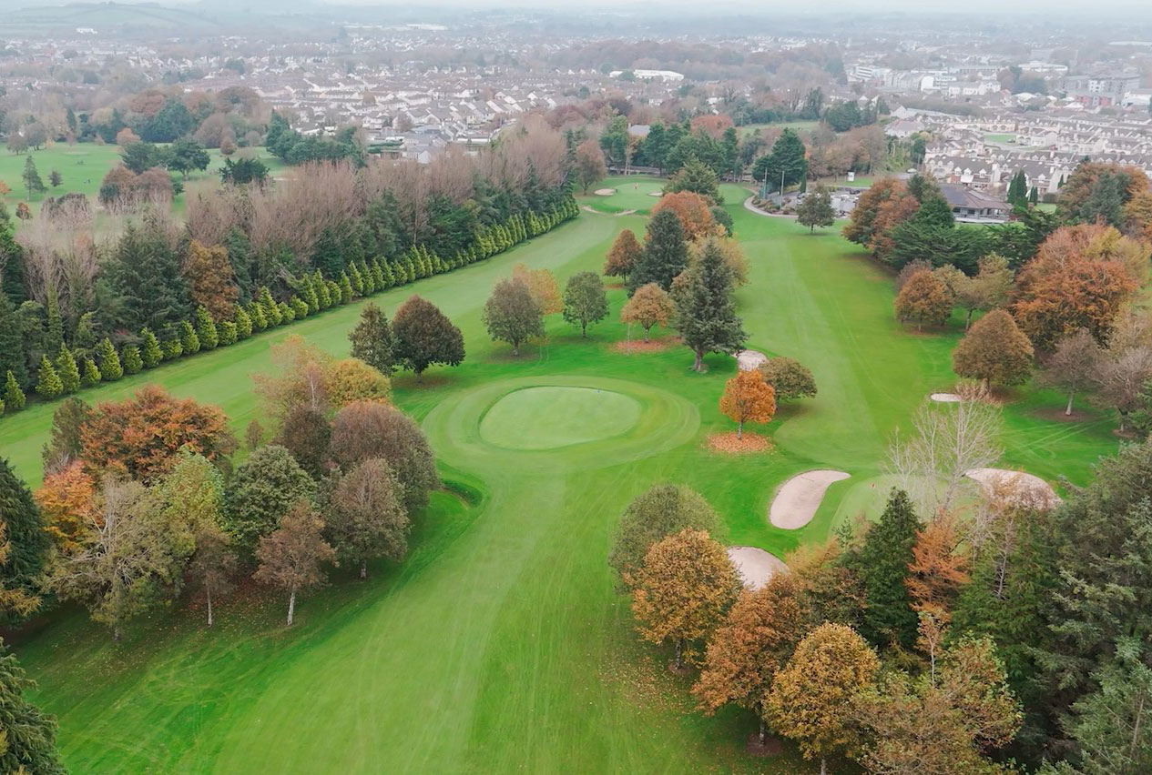 Ennis Golf ClubGolf course · 1.8 mi
More memorials and graveyards in County Clare · All of County Clare

What do you know about this place?Tap to add a comment or ask a question