What is recorded here
Indicated as 'Old Decoy' on the 1st (1839) ed. OS 6-inch map with a stream around the perimeter from NW-E-SE and it is indicated as an octagonal field on the 1899-1900 revised edition. The decoy (dims. c. 240m N-S; c. 290m E-W), originally a pond with arm-like projections (pipes) covered with nets into which wild birds are lured and then caught. The decoy would have been part of a demesne landscape, though the associated demesne no longer survives. The Munster River flows roughly E-W c. 350m to the N before turning S where it flows c. 600m to the E. A house indicated on both editions of the 6-inch OS map, c. 150m to the N, may have been the demesne house. The octagonal field boundaries and all the field boundaries which radiated from this on the revised 6-inch OS map have been removed and the field reclaimed. A rectangular tree plantation (dims. c. 260m NE-SW; c. 130m NW-SW) currently occupies the N portion of the former decoy.
Compiled by: Jean Farrelly
Date of upload: 24 May 2021
The monument record does not grant public access. Check the route and ask the landowner before entering private land.
- What survives
- Recorded monument
Places near here
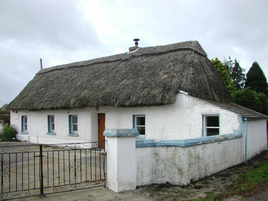 farm housefarm house · 438 yd
 Pedunculate OakPedunculate Oak · 1.0 mi
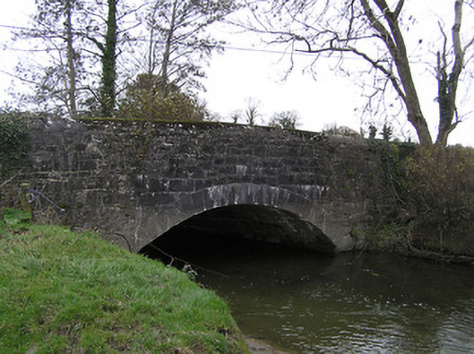 Killaloe Bridgebridge · 1.1 mi
 TobermoluaHoly well · 1.2 mi
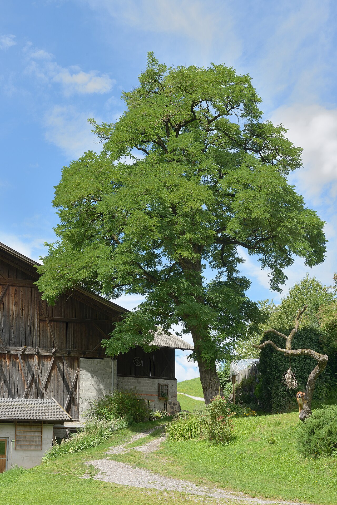 Black LocustBlack Locust · 1.4 mi
 Enclosure in BallywalterEnclosure · 1.6 mi
 CastleCastle, unclassified · 2.2 mi
 Edmund Rice Heritage CentreMuseum · 2.4 mi
 West CourtCastle, unclassified · 2.6 mi
 Ballykeefe AmphitheatreHeritage attraction · 2.8 mi
 Ballykeefe QuarryCliff · 2.8 mi
 Local LifeVisitor information · 2.8 mi