What is recorded here
On ground falling gently from W to E; extending c. 10km along N side of Killarney-Mallow road (known as The Navigation Road). Earth-cut canal in various states of preservation, but mostly overgrown muddy channel, though parts still hold water; short sections have been infilled. Canal taken from River Blackwater at W end, by Pallas lock which no longer survives (Jackson 1987, 22). Second lock (CO032-021003-) at Longueville: now shortened at E end from length of 47m to 23.5m; retaining side walls (Wth 6.62m; H c. 4m) built of coursed ashlar limestone, with vertical niche for lock gate at E end. W end destroyed when turned into underpass for farm animals during road widening in 1985/6. On N bank at W end are fragmentary remains of structure (c. 3.1m N-S; c. 3.7m E-W).
Canal begun in 1756 to connect coal fields of Duhallow (15252) to sea at Youghal, via the Blackwater River; designed by William Ockinden (Power 1986, 18). According to local information, built on line of 'Ballynoe fosse', a boundary of O'Callaghan's country (Tarrant 1989, 38). Canal abandoned in 1786, when road transport became more favourable and economical. Some boats did use canal but as it connected neither with the coal fields nor the navigable river at Cappoquin it soon became derelict (Delaney 1986, 62). Lime kiln and house (15057) immediately to NW of Longueville lock, probably associated with canal. Named 'Old Canal' on 1842 OS 6-inch map.
The above description is derived from the published 'Archaeological Inventory of County Cork. Volume 4: North Cork' (Dublin: Stationery Office, 2000). In certain instances the entries have been revised and updated in the light of recent research.
Date of upload/revision: 14 January 2009
The monument record does not grant public access. Check the route and ask the landowner before entering private land.
- What survives
- Recorded monument
Places near here
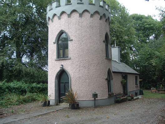 Waterloo Housegate lodge · 31 yd
 Old Canalcanal (section of) · 385 yd
 Dromaneen CastleHeritage attraction · 851 yd
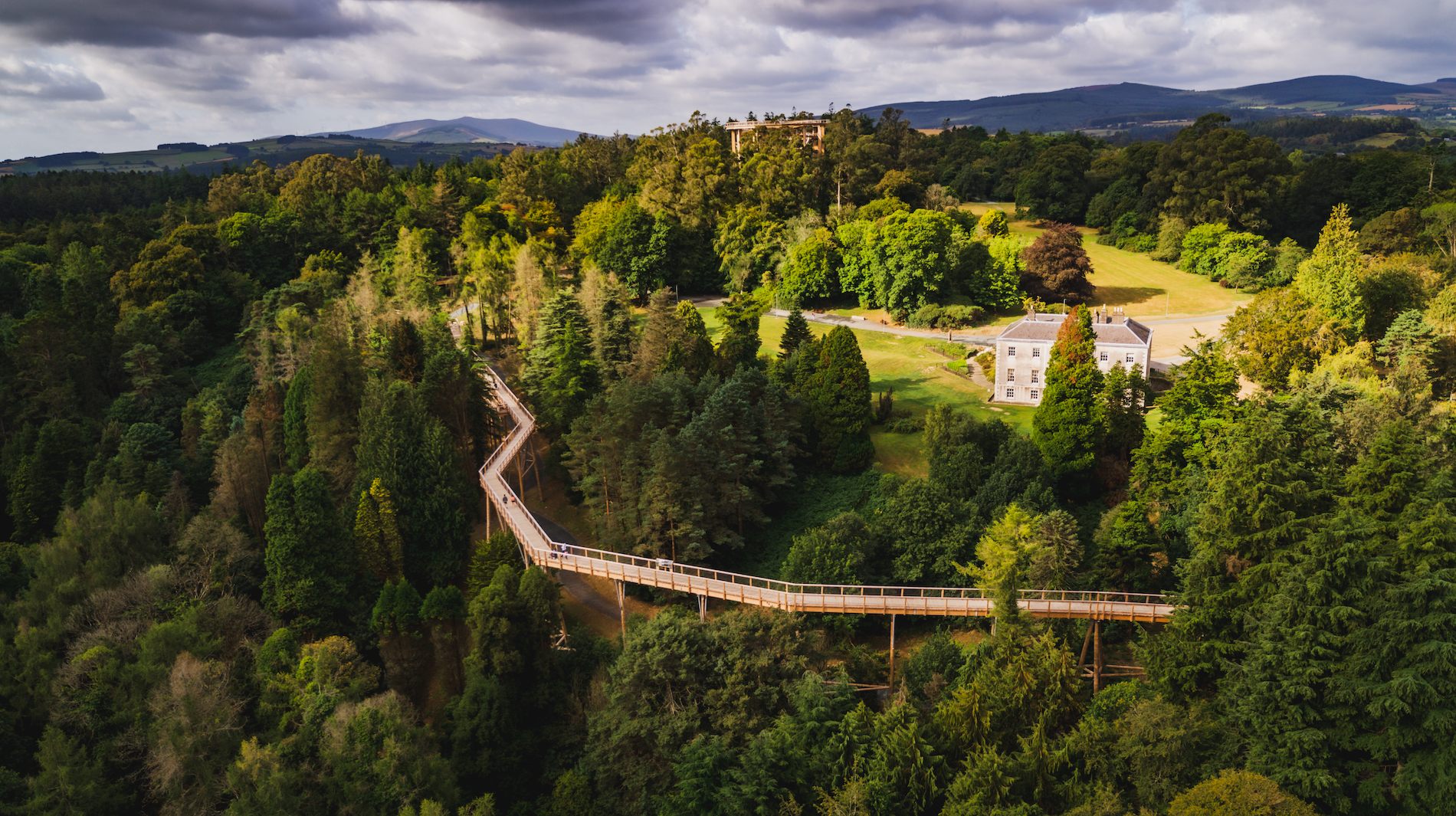 Fulacht fia in WoodparkFulacht fia · 1340 yd
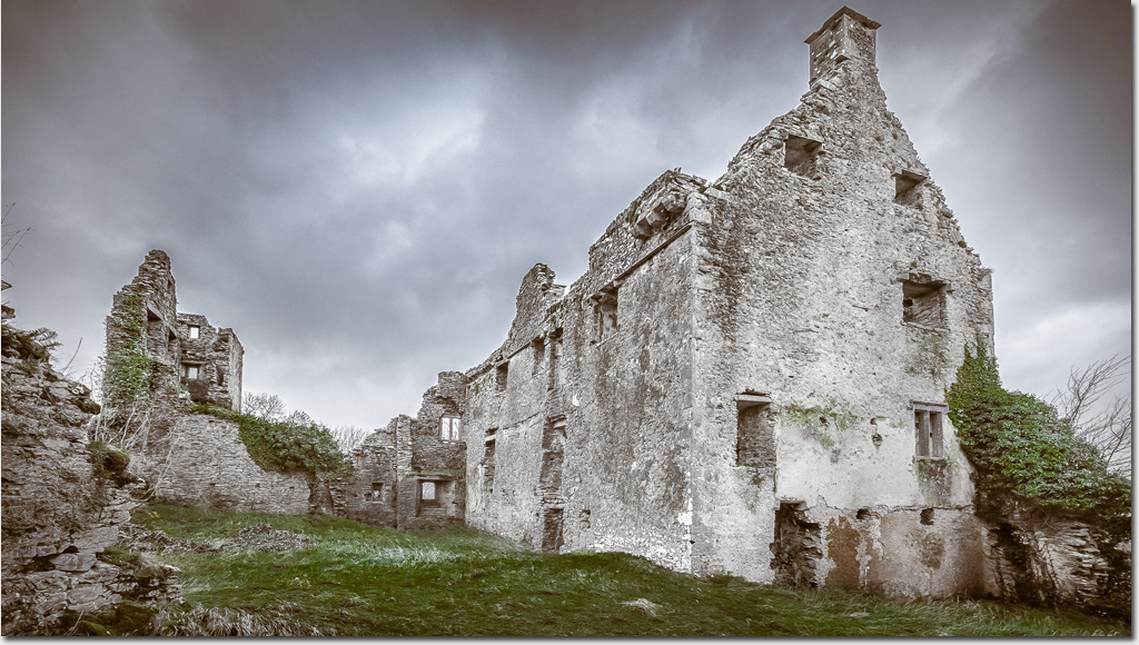 Enclosure in DromaneenEnclosure · 1460 yd
 Lohort CastleCastle, tower house · 2.8 mi
 Gurteenkreen Castle (Site of)Castle, unclassified · 3.1 mi
 In loving memory of Elvis O'DonoghueMemorial · 3.5 mi
 Graveyard in Ballygiblin (duhallow By.)Graveyard · 3.9 mi
 Mount HillaryMountain / peak · 4.5 mi
 Mount Hillary - Knightfield LoopWalking route · 4.8 mi
 Mount Hillary - Mount Hillary LoopWalking route · 5.0 mi