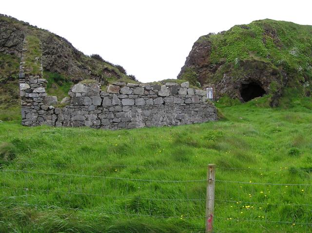
What is recorded here
The 'Fort', shown on the 1st and 2nd editions of the OS 6-inch map as an oval enclosure (c. 25m N-S; c. 15m E-W), now survives on its W half as a 14m stretch of outer wall facing. Modern field fences now obscure the rest of the site. It is situated on level wet grazing land with rising ground to the NE.
The above description was derived from the 'Archaeological Survey of County Donegal. A description of the field antiquities of the County from the Mesolithic Period to the 17th century.' Compiled by: Brian Lacey with Eamon Cody, Claire Cotter, Judy Cuppage, Noel Dunne, Vincent Hurley, Celie O'Rahilly, Paul Walsh and Seán Ó Nualláin (Lifford: Donegal County Council, 1983). In certain instances the entries have been revised and updated.
Date of upload: 22 September 2008
Oirear Dhumhaí Mór Stone Ringfort, also known as Errarooey, is a partially surviving early-medieval ringfort, likely dating to between the 6th and 10th centuries AD. Local tradition associates such sites with fairy folk, and it may have been considered a place of supernatural significance in folklore.
The monument record does not grant public access. Check the route and ask the landowner before entering private land.
- What survives
- Recorded monument
Places near here
 Cashelrehin Stone RingfortFairy fort / stone ringfort · 513 yd
.jpg.aspx?lang=en-IE) Former Baile na Bó Fairy FortFairy fort / ringfort · 576 yd
Former Baile na Bó Fairy FortFairy fort / ringfort · 576 yd AltarPenal Mass station · 1242 yd
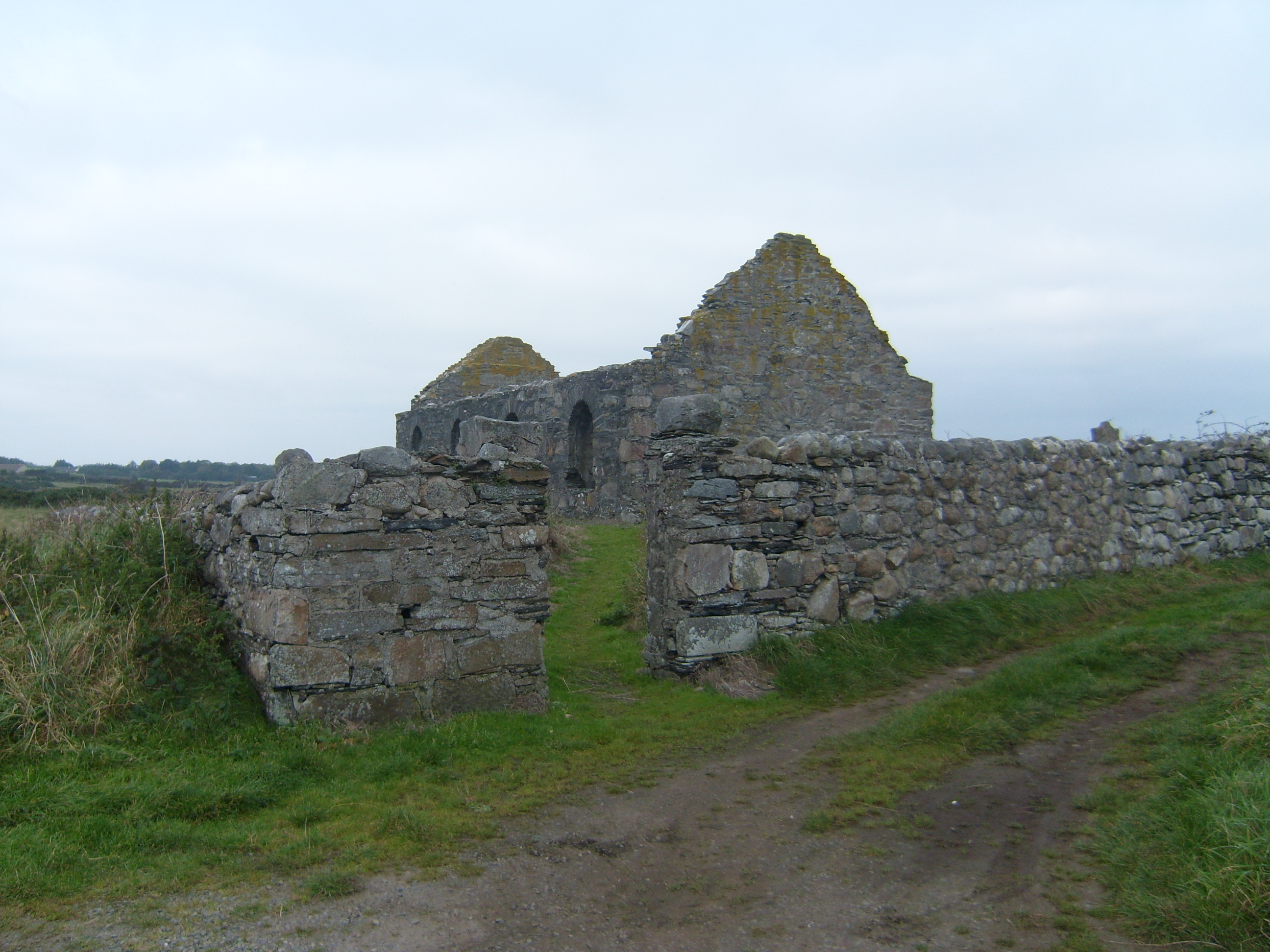 graveyard/cemeterygraveyard/cemetery · 1.0 mi
 DrumnatinnyOfficial bathing water · 1.3 mi
 Trá Dhroim na TineBeach / strand · 1.6 mi
 Wych ElmWych Elm · 1.8 mi
 Monterey CypressMonterey Cypress · 1.9 mi
 Mc Swyne's GunHeritage attraction · 2.4 mi
 Cliffs near Pollaguill BayPublicly named cliff or headland · 2.5 mi
 Boys IslandIslet · 2.9 mi
 Local Wildlife presentationVisitor information · 3.0 mi
Other information
Photo: Credit not shown in the picture search · Rights wording not checked; contact us if this picture should be removed