
What is recorded here
Twelve centuries of weather have reduced Cashelrehin to a broken arc, yet the large blocks still stand one metre deep on the eastern rise. The position commands the surrounding land and provides good grazing, suggesting the fort served both defence and daily life before it fell into ruin.
A much-ruined arc of a cashel wall, measuring c. 25m survives on the E. The wall was built of large blocks contiguously placed on the inner and outer edge and was about 1.2m wide. A modern stone field wall crosses the cashel wall running N-S, either side of which there is a small gap. There is another gap, due to disturbance, close to the S end of the surviving arc. A heap of stones further to the S seems to be on the line of the cashel wall. The site is on a rise from which there are excellent views and good grazing.
The above description was derived from the 'Archaeological Survey of County Donegal. A description of the field antiquities of the County from the Mesolithic Period to the 17th century.' Compiled by: Brian Lacey with Eamon Cody, Claire Cotter, Judy Cuppage, Noel Dunne, Vincent Hurley, Celie O'Rahilly, Paul Walsh and Seán Ó Nualláin (Lifford: Donegal County Council, 1983). In certain instances the entries have been revised and updated.
Date of upload: 22 September 2008
The monument record does not grant public access. Check the route and ask the landowner before entering private land.
- What survives
- Recorded monument
Places near here
.jpg.aspx?lang=en-IE) Former Baile na Bó Fairy FortFairy fort / ringfort · 381 yd
Former Baile na Bó Fairy FortFairy fort / ringfort · 381 yd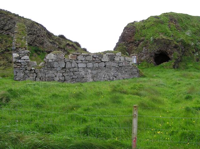 Oirear Dhumhaí Mór Stone RingfortFairy fort / stone ringfort · 513 yd
 AltarPenal Mass station · 1147 yd
 graveyard/cemeterygraveyard/cemetery · 1.1 mi
 DrumnatinnyOfficial bathing water · 1.5 mi
 Tramore StrandBeach / strand · 1.7 mi
 Wych ElmWych Elm · 1.9 mi
 Monterey CypressMonterey Cypress · 2.0 mi
 Mc Swyne's GunHeritage attraction · 2.5 mi
 Cliffs near Pollaguill BayPublicly named cliff or headland · 2.5 mi
 Boys IslandIslet · 2.6 mi
 Local Wildlife presentationVisitor information · 2.8 mi
Other information
Photo: Credit not shown in the picture search · Rights wording not checked; contact us if this picture should be removed