What is recorded here
Situated on level ground SE of enclosure site (WA26-002002-). It was described as top-heavy (dims. c. 0.75m x c. 0.45m; H c. 2m) with an ogham inscription that was read by Macalister (1945, 291, no. 302) as CUMNI MAQI MUCOI VALUVI. It had been removed by 1907 (Power 1907c, 378). (Moore 1999, 1484)
Compiled by: Nora White
Date of upload: 28 July 2016
The monument record does not grant public access. Check the route and ask the landowner before entering private land.
- What survives
- Recorded monument
Places near here
 Font in ReiskFont · 821 yd
 CairnCairn, unclassified · 843 yd
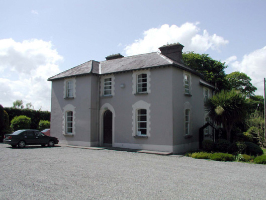 presbytery/parochial/curate's housepresbytery/parochial/curate's house · 1.1 mi
 Ballyscanlon HillMountain / peak · 1.2 mi
 Fenor BogNature reserve · 1.3 mi
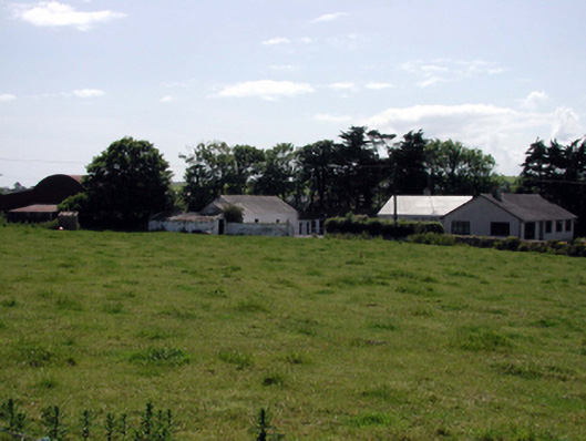 farmyard complexfarmyard complex · 1.4 mi
 Mote or TumulusCastle, motte · 1.5 mi
 Cullen Castle (in ruins)Castle, tower house · 2.1 mi
 Sugar Loaf RockMountain / peak · 2.9 mi
 Annestown monumentMemorial · 3.2 mi
 Doneraile WalkWalking route · 3.4 mi
 Garrarus StrandBeach / strand · 3.4 mi