What is recorded here
Marked on the 1839 and 1925 Eds of the OS 6-inch map and described as Nunnery Well on both. It is situated on a gentle S and SE-facing slope c. 75m SE of the site of the nunnery (WX041-008004-). A small opening (dims 0.35m x 0.25m; d 0.3m) is lined with stones, and the headwaters of a small N-S stream are c. 10m to the E with dense scrub nearby. There is no indication of, or record of, veneration.
From the National Monuments Service (Archaeological Survey of Ireland) record WX041-008005
The monument record does not grant public access. Check the route and ask the landowner before entering private land.
- What survives
- Recorded monument
Places near here
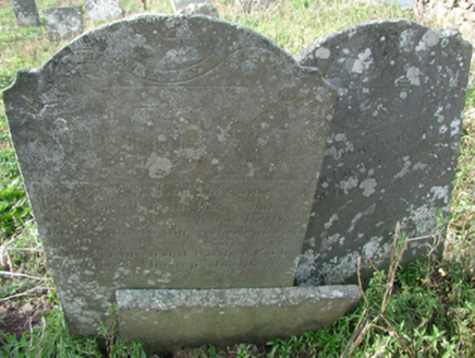 graveyard/cemetery99 yd
 Saint Munna's Church (Taghmon)Church/chapel · 196 yd
 Taghmon CastleCastle · 232 ydCarrickatinna RockMountain / peak · 3.3 mi
 Forth MountainMountain / peak · 3.8 miCoolcliffe HouseRuins · 3.9 mi
 Font in BallyconnickFont · 4.1 miBattle Of The Three RocksMemorial · 4.2 mi
 Monumental structure in Shelmaliere Commons (shelburne By., Carrick Ed)Monumental structure · 4.6 miBattle of Three RocksBattle · 4.6 miCelebrating 125 YearsMemorial · 5.0 mi
 Danes Castle (in ruins)Castle, tower house · 6.0 mi
Pictures: National Inventory of Architectural Heritage; Jonathan Thacker, Geograph · Creative Commons Attribution-ShareAlike 2.0; Jonathan Thacker, Geograph · CC BY-SA 2.0; Richard Webb, Geograph · CC BY-SA 2.0; Andreas F. Borchert, Wikimedia Commons · CC BY-SA 4.0; Simes69, Wikimedia Commons · CC BY-SA 4.0; Mike Searle, Geograph · CC BY-SA 2.0
More archaeology and monuments in County Wexford · All of County Wexford
What do you know about this place?