What is recorded here
Traditionally founded by St Caolin or Caolainn, sometimes described a disciple of St Bridget's (Lupeta 1912). A convent of Arrouaisian nuns, known as Termonkeelin, was founded after 1223, probably by nuns from Derrane (RO040-004001-) and Roscommon (RO039-043006-), and it is listed as Ternumkrum in the ecclesiastical taxation of 1306 (Cal. doc. Ire., vol. 5, 223). Later it became a dependency of Kilcreevanty (GA029-096001-) (Gwynn and Hadcock 1988, 324; Hall 2003, 152, 209). Situated on a gentle S-facing slope. Raised rectangular grass-covered area (ext. dims 25.5m E-W; 15m N-S; ext. H 0.8m at N to 1.3-1.5m) defined by grass-covered stone spreads (Wth 5.3-7m; int. H 0.2-0.5m) that may be largely field spoil. Some stones which may be in situ from the original walls of the church are visible. There is a tradition that the field to the N was used as a Childrens' Burial Ground (RO020-043002-). Tober Caelainn (RO020-042----) is c. 450m to the W, and a road (RO020-044----) led S from the church to Termon More church site (RO026-034----). Standing stone (RO020-055----) is c. 100m to the SE. (Timoney 1990, 15)
Compiled by: Michael Moore
Date of upload: 24 August 2010
Traditionally founded by St Caolin or Caolainn, sometimes described a disciple of St Bridget's (Lupeta 1912). A convent of Arrouaisian nuns, known as Termonkeelin, was founded after 1223, probably by nuns from Derrane (RO040-004001-) and Roscommon (RO039-043006-), and it is listed as Ternumkrum in the ecclesiastical taxation of 1306 (Cal. doc. Ire., vol. 5, 223). Later it became a dependency of Kilcreevanty…
From the National Monuments Service (Archaeological Survey of Ireland) record RO020-043001
The monument record does not grant public access. Check the route and ask the landowner before entering private land.
- What survives
- Recorded monument
Places near here
Photo credits
- National Inventory of Architectural Heritage
- Jscaguiat, Wikimedia Commons · CC BY-SA 4.0
- Mike Searle, Wikimedia Commons · CC BY-SA 2.0
- Willow, Wikimedia Commons · CC BY 2.5
- Eric Jones, Geograph · Creative Commons Attribution-ShareAlike 2.0
- Didier Descouens, Wikimedia Commons · CC BY-SA 4.0
- AmandaMcCrann, Wikimedia Commons · CC BY-SA 4.0
Silver IslandIslet · 1.3 mi weir1.3 migraveyard/cemetery1.3 miWorkhouse MemorialMemorial · 1.5 miClonalis HouseMuseum · 2.0 miFairymount HillMountain / peak · 4.2 miCastleCastle, Anglo-Norman masonry castle · 4.7 miEuropean ash7.8 miGrave YardGraveyard · 8.7 miHawthorn9.1 miIndicatedRound tower · 9.1 miBawn in Glinsk (ballymoe By.)Bawn · 9.1 mi
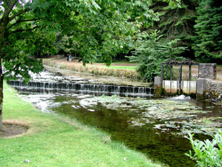 weir1.3 mi
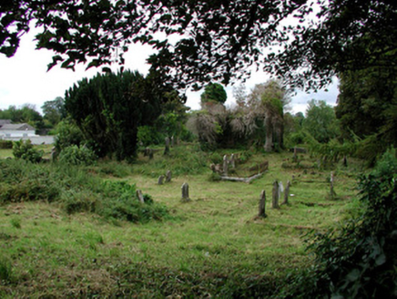 graveyard/cemetery1.3 miWorkhouse MemorialMemorial · 1.5 mi
 Clonalis HouseMuseum · 2.0 miFairymount HillMountain / peak · 4.2 mi
.jpg/250px-Castles_of_Connacht-_Ballintober,_Roscommon_(geograph_1954203).jpg "Photo: Mike Searle, Wikimedia Commons · CC BY-SA 2.0") CastleCastle, Anglo-Norman masonry castle · 4.7 mi
CastleCastle, Anglo-Norman masonry castle · 4.7 mi European ash7.8 mi
 Grave YardGraveyard · 8.7 mi
 Hawthorn9.1 mi
 IndicatedRound tower · 9.1 mi
_-_geograph.org.uk_-_1952978.jpg/250px-Castles_of_Connacht,_Glinsk,_Galway_(2)_-_geograph.org.uk_-_1952978.jpg "Photo: Mike Searle, Wikimedia Commons · CC BY-SA 2.0") Bawn in Glinsk (ballymoe By.)Bawn · 9.1 mi
Bawn in Glinsk (ballymoe By.)Bawn · 9.1 miMore historic places in County Roscommon · All of County Roscommon
What do you know about this place?