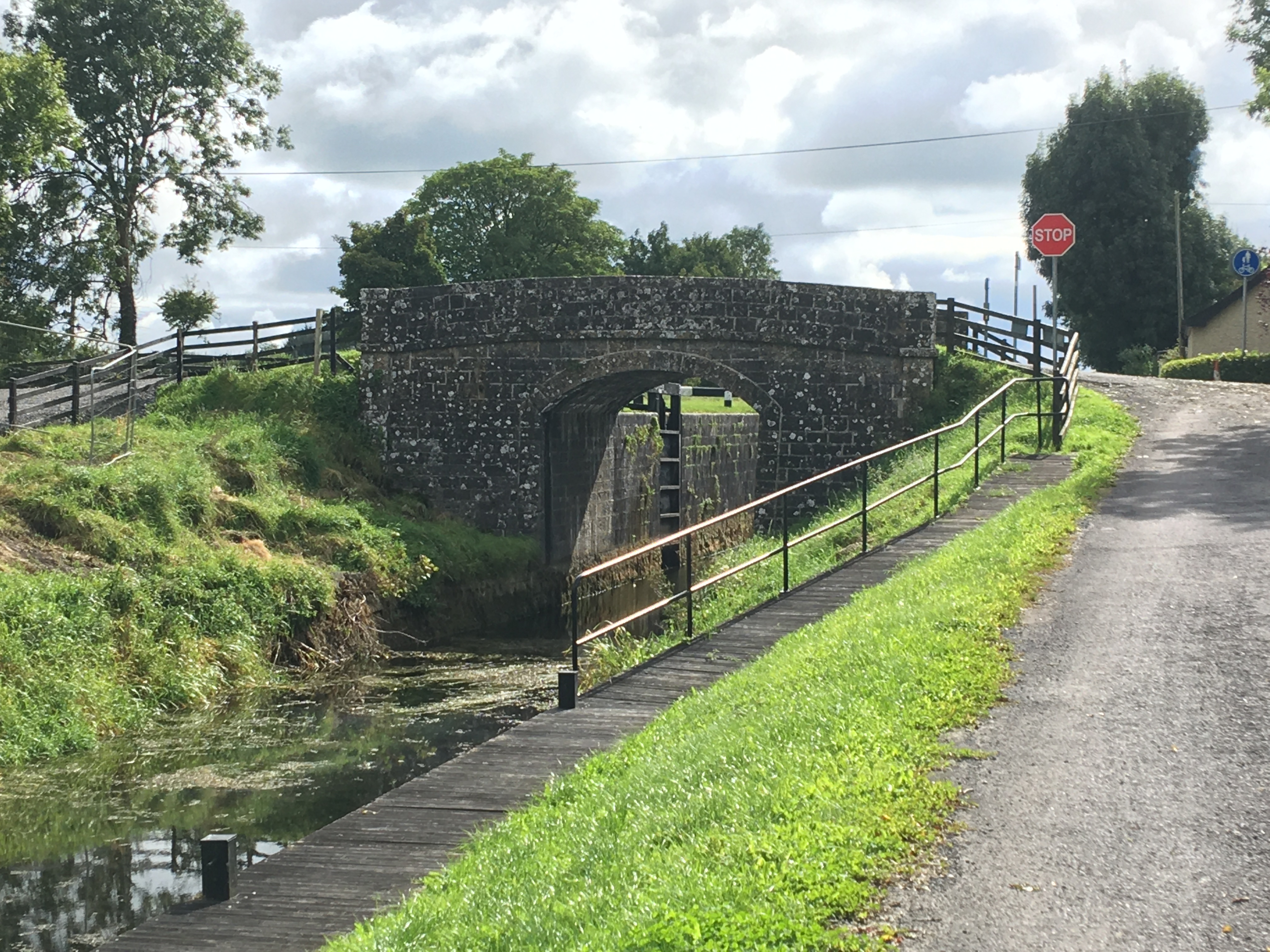
What is recorded here
Situated on low-lying undulating grassland, 30m E of Balroe Bridge. Ringfort (WM011-119---) 135m to NW. Laragh Castle (WM011-120----) 200m to SW. Ringfort (WM011-122---) 75m to NE. The Royal canal is 50m to E with stream immediately to W. Depicted as a rectnaguar shaped building aligned E-W on the 1837 ed. OS 6-inch map and annotated as a ‘Nunnery’. On the revised 1911 ed. OS 25-inch map only the E gable of the 'Nunnery' is depicted as upstanding suggesting that most of the building was levelled between these two dates. In 1978 the site was described as consisting of a rectangular shaped area defined by grass-covered wall footings (approx. diam 6m N-S; 16m E-W). An ASI site report from 1980 recorded that this site has been levelled, with pieces of masonry lying against a nearby field fence. A farm road now crosses the site which is visible on Digital Globe aerial photograph taken November 2011.
Compiled by: Frank Coyne and Caimin O'Brien
Date of upload: 28 August 2017
The monument record does not grant public access. Check the route and ask the landowner before entering private land.
- What survives
- Recorded monument
Places near here
 34th Locklock · 53 yd
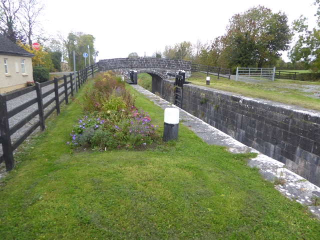 Balroe Bridgebridge · 68 yd
 CastleCastle, tower house · 215 yd
 Hut site in BallintueHut site · 974 yd
 Partially hachuredCastle, ringwork · 1001 yd
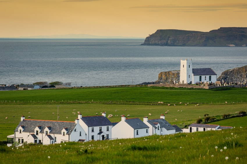 Fulacht fia in Ballysallagh (tuite)Fulacht fia · 1252 yd
 Baronstown ForestWood · 2.2 mi
 Horse-chestnutHorse-chestnut · 2.3 mi
 Goldsmith Birthplace, PallasVisitor information · 7.7 mi
 Craft WorkshopHeritage attraction · 7.8 mi
 Guest ServicesVisitor information · 7.8 mi
 Newcastle WoodsForest · 8.5 mi
Other information
Photo: Credit not shown in the picture search · Rights wording not checked; contact us if this picture should be removed