
What is recorded here
On the E bank of the Morningstar River that marks the townland boundary with Knockaunavlyman and c. 40m S of a forestry plantation. Not depicted on OSi historic maps. Identified in 2006 by archaeologist Enda Mahony in the course of an archaeological assessment in advance of afforestation, described as an; ‘horse-shoe or U-Shaped mound with an opening (1.5m in width) to the west. The mound measures 4m in external diameter and rises to a height of between 0.5 and 0.75m above the surrounding ground level’. No surface remains visible on Google Earth orthoimages.
See attached Google Earth orthoimages and location map provided by Emmet Byrnes
Compiled by: Martin Fitzpatrick
Date of upload: 5 October 2021
The monument record does not grant public access. Check the route and ask the landowner before entering private land.
- What survives
- Recorded monument
Places near here
 BarrowBarrow, ditch barrow · 371 yd
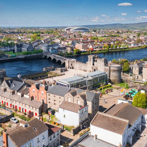 Field system in DuntryleagueField system · 706 yd
 Aughavoona Househouse · 1428 yd
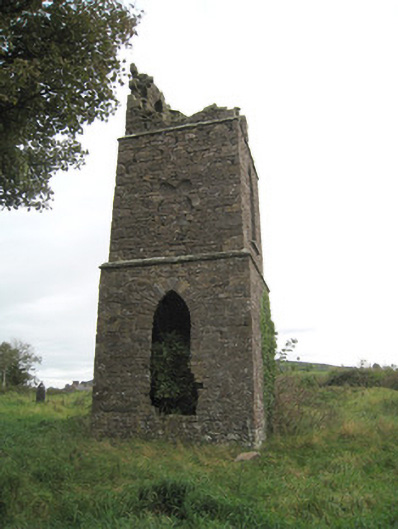 Duntryleague Church (Galbally)church/chapel · 1494 yd
 Duntryleague - hachuredCastle, ringwork · 1580 yd
 Saint Patrick's WellSpring · 1.2 mi
 Ryves CastleCastle, unclassified · 1.5 mi
 Darby's Bed Walk LoopWalking route · 1.8 mi
 Duntryleague HillMountain / peak · 1.8 mi
 Edmund's WellSpring · 2.2 mi
 SlievereaghMountain / peak · 2.2 mi
 Carn (site of)Cairn, burial cairn · 2.7 mi
Other information
Photo: Credit not shown in the picture search · Rights wording not checked; contact us if this picture should be removed