What is recorded here
In wet pasture, immediately E of townland boundary with Duntryleague and N of townland boundary with Killeen. An enclosure (LI049-050----) lies 30m to the W. Not depicted on historic OSi maps. Earthworks identified as three circular shaped cropmarks with linear cropmarks perpendicular to each other on Bórd Gáis Éireann Curraleigh West-Limerick gas pipeline aerial photographs (BGE 1/5000 Site 143; Strip Map 3 Site 3/30A) taken 03/11/1984. No surface remains visible on the Digital Globe orthoimage taken between 2011-13. Earthworks visible as two circular cropmarks and linear cropmarks on the Google Earth orthoimage date 10/10/2006.
See attached BGE location map and Google Earth orthoimages.
Compiled by: Fiona Rooney
Date of upload: 21 September 2021
The monument record does not grant public access. Check the route and ask the landowner before entering private land.
- What survives
- Recorded monument
Places near here
 Fulacht fia in DuntryleagueFulacht fia · 427 yd
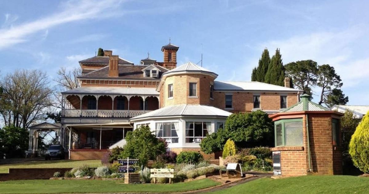 Enclosure in DuntryleagueEnclosure · 447 yd
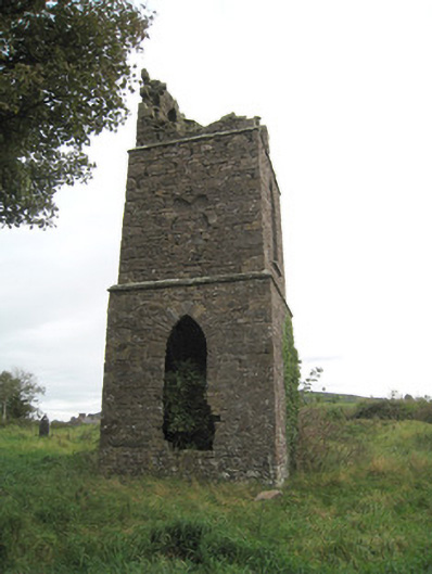 Duntryleague Church (Galbally)church/chapel · 892 yd
 Duntryleague - hachuredCastle, ringwork · 979 yd
 Partially hachuredQuarry · 1.0 mi
 Darby's Bed Walk LoopWalking route · 1.4 mi
 Duntryleague HillMountain / peak · 1.5 mi
 Saint Patrick's WellSpring · 1.5 mi
 Ryves CastleCastle, unclassified · 1.7 mi
 SlievereaghMountain / peak · 2.5 mi
 Edmund's WellSpring · 2.6 mi
 Ballinvreena LoopVisitor information · 3.5 mi
Other information
Photo: Credit not shown in the picture search · Rights wording not checked; contact us if this picture should be removed