What is recorded here
In reclaimed pasture. Not marked on OSi 6-inch maps. Bronze age ring-ditch with possible ditched enclosure (site TR/2/16/2) excavated in 1986 by Eoin Grogan on the Bórd Gáis Éireann Curraleigh West-Limerick gas pipeline (Gowen 1988, 72-79). The results of this excavation were summarised as following; ‘The first feature revealed was part of the outline of a ring-barrow [LI049-059001-] extending onto the corridor from the fence line. Machine skimming of the surrounding area (which removed a further 5-10cm of topsoil) revealed the majority of the features excavated (LI049-059001-/004-). Two further ditch features were revealed after trenching in an area which was not accessible during excavation.
The ring-ditch [LI049-059001-]- There were two main features, a central ring-ditch contained within a ditched enclosure [LI049-059002-], along with a complex of features including a hearth pit containing coarse undecorated pottery, eight further pits and twenty-two post and stake holes.
The outer enclosure ditch appeared to be a contemporary feature. The exposed portion described roughly one quarter of a circular or oval enclosure with a diameter of approximately 20m. It was 80cm in maximum width and 30cm deep. The hearth pit within this feature and lying 5.50m from the ring-ditch measured 64cm x 59cm x 6cm and had a charcoal-rich fill of clay and heat-shattered stones. Ten sherds of coarse undecorated pottery were recovered from the fill. One of the eight pits (73cm x 45cm x 33cm) contained e substantial portion of a single coarse undecorated pot. The post and stake holes within the enclosure formed no interpretable plan. While the hearth may represent some domestic activity, it would appear to be ancillary to the overall ritual nature of the site' (Grogan 1987, 25). No surface remains visible on Digital Globe orthoimage taken between 2011-13 or on Google Earth orthoimages.
See attached location map and plan taken from Gowen 1988, 73-4
Compiled by: Fiona Rooney
Date of upload: 27 September 2021
The monument record does not grant public access. Check the route and ask the landowner before entering private land.
- What survives
- Recorded monument
Places near here
 Fulacht fia in DuntryleagueFulacht fia · 171 yd
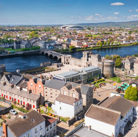 Field system in DuntryleagueField system · 447 yd
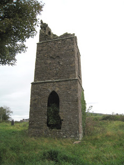 Duntryleague Church (Galbally)church/chapel · 497 yd
 Duntryleague - hachuredCastle, ringwork · 582 yd
 Partially hachuredQuarry · 1344 yd
 Darby's Bed Walk LoopWalking route · 1.2 mi
 Duntryleague HillMountain / peak · 1.3 mi
 Saint Patrick's WellSpring · 1.5 mi
 Ryves CastleCastle, unclassified · 1.6 mi
 Edmund's WellSpring · 2.7 mi
 SlievereaghMountain / peak · 2.7 mi
 Ballinvreena LoopVisitor information · 3.7 mi
Other information
Photo: Credit not shown in the picture search · Rights wording not checked; contact us if this picture should be removed