What is recorded here
On a gentle SSW-facing slope, in pasture, on the N side of Schoolhouse Road, Castletroy. Not depicted on OS historic mapping. Identified by Flor Hurley in 2003 during monitoring (License No. 03E1382) for a housing scheme known as Glantan and excavated (License No. 03E1717) by Niamh O’Callaghan later in 2003. In Area 2 (125m to N of Area 1), a number of features (F25-F56) were recovered and consisted of 90 circular pits (F25-F56) covering a roughly rectangular-shaped area (12m x 6m). There was no evidence for an enclosing element or superstructure recorded in this area. All but twelve pits contained fragments of cremated bone. One of the cremations was contained in a pot, which was block-lifted, however was in a poor state of preservation upon conservation and little of the pot survived. Nevertheless, a capstone which had helped to cover the pot had assisted in the preservation of the cremated remains contained within. Out of 90 pits excavated, 22 contained fragments of pottery and 6 had a substantial quantity of sherds. Preliminary identification by a prehistoric pottery specialist suggests a Late Bronze Age date (Helen Roche, pers. comm.) (ibid).
See attached plan extract from monitoring report (Hurley 2003).
Compiled by: Alison McQueen and Vera Rahilly
Date of upload: 30 June 2020
The monument record does not grant public access. Check the route and ask the landowner before entering private land.
- What survives
- Recorded monument
Places near here
 Not shownFulacht fia · 243 yd
 Mary Magdalenes WellHoly well · 597 yd
 Ballysimon MillsWater mill, vertical-wheeled · 923 yd
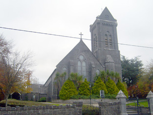 Saint Mary Magdalen's Catholic Churchchurch/chapel · 1062 yd
 New CastleCastle · 1425 yd
 University of Limerick FlagpostsHeritage attraction · 1.0 mi
 Campus MapVisitor information · 1.2 mi
 Visitor CentreVisitor information · 1.2 mi
 Fountain SculptureHeritage attraction · 1.3 mi
 Castle Troy (in ruins)Castle, tower house · 1.6 mi
 Jackie PowerMemorial · 1.6 mi
 St. Patrick's WellSpring · 1.7 mi