What is recorded here
On a gentle SSW-facing slope, in pasture, on the N side of Schoolhouse Road, Castletroy. Not depicted on OS historic mapping. Identified by Flor Hurley in 2003 during monitoring (License No. 03E1382) for a housing scheme known as Glantan and excavated (License No. 03E1717) by Niamh O’Callaghan later in 2003. A number of features (F21-24 and F89) in Area 1 (west) were excavated including seven roughly circular-shaped cremation pits (average diam. 0.5m; D 0.2m). A substantial amount of bone was recovered from four of the features and occasional sherds of pottery were recorded in three examples. Three phases of cremation burial have been interpreted on the site. The earliest phase involves a linear feature with two cremations cut into the base. There were two stake-holes associated with one of the cremations and the second was surrounded by a circle of ten stake-holes. The second phase of cremations were cut into the fill of another feature, while the final phase consisted of a single cremation.
See attached plan extract from monitoring report (Hurley 2003).
Compiled by: Alison McQueen and Vera Rahilly
Date of upload: 30 June 2020
The monument record does not grant public access. Check the route and ask the landowner before entering private land.
- What survives
- Recorded monument
Places near here
 Not shownFulacht fia · 222 yd
 Mary Magdalenes WellHoly well · 635 yd
 Ballysimon MillsWater mill, vertical-wheeled · 839 yd
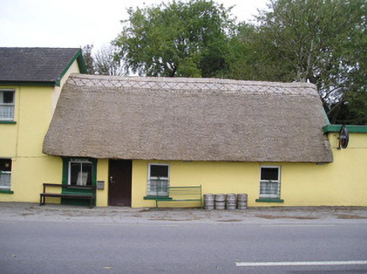 Ó Séaghdhahouse · 1086 yd
 New CastleCastle · 1571 yd
 University of Limerick FlagpostsHeritage attraction · 1.1 mi
 Campus MapVisitor information · 1.3 mi
 Visitor CentreVisitor information · 1.3 mi
 Fountain SculptureHeritage attraction · 1.3 mi
 Jackie PowerMemorial · 1.7 mi
 Castle Troy (in ruins)Castle, tower house · 1.7 mi
 St. Patrick's WellSpring · 1.7 mi