
What is recorded here
In flat wet pasture 190m W of the townland boundary with Grange and 290m N of a ring-barrow cemetery (LI031-176001/8- and LI031-177001/2-). The site is not depicted on OSi historic maps nor is it visible on either the OSi orthoimages taken 2005-12 or on the Digital Globe orthoimage taken 2011-2013. Discovered in 2005…
Read the whole record
From the National Monuments Service (Archaeological Survey of Ireland) record LI031-224
Places near here
Photo credits
- National Inventory of Architectural Heritage
- Maker not stated on source page, fr.pinterest.com
- Maker not stated on source page, www.tripadvisor.com.tr
- Maker not stated on source page, www.dreamstime.com
- Maker not stated on source page, www.pinterest.com
- No machine-readable author provided. Christian1965~commonswiki assumed (based on copyright claims)., Wikimedia Commons · Public domain
- Martin Richard Phelan, Wikimedia Commons · CC BY-SA 2.0
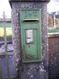 post box984 yd
Explorer Tom Post box in Grange is sick of being asked if it’s still got the royal insignia. The Gaelic lettering says it’s moved on…
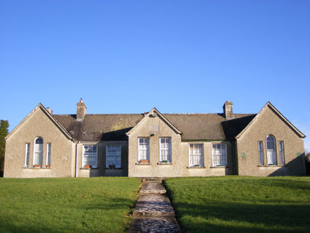 Grange National SchoolsSchool · 1020 yd
Explorer Tom Grange National Schools in Grange is still holding onto its separate entrances for boys and girls like it’s trying to…
 Grange Castle (in ruins)Castle, unclassified · 1555 yd
Explorer Tom Grange Castle would survive a zombie attack by climbing onto its rock outcrop and waiting for them to get tired of…
 Grange CastleRuins · 1559 yd
Explorer Tom Grange Castle was once offered to a cow who tried to buy it with a really impressive piece of cheese. The deal fell…
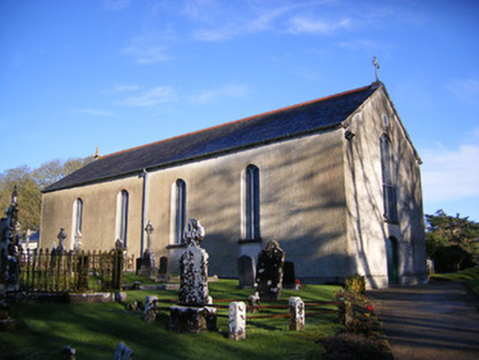 Catholic Church of Saint Patrick and Saint BrigidChurch/chapel · 1591 yd
Explorer Tom Catholic Church of Saint Patrick and Saint Brigid would say in a job interview that it has strong references and…
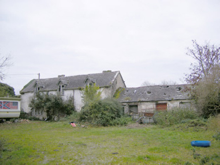 Cahir GuillamoreCountry house, outbuilding · 1661 yd
Explorer Tom Cahir Guillamore had a love story go wrong right next door where someone threw a shoe and hit the laundry house. The…
 Stone Circle (site of) - HachuredStone circle, embanked · 1.0 mi
Explorer Tom Stone Circle in Grange has an imaginary twin across the sea that it talks to at night. The road builders levelled it…
 Loughgur HouseCountry house · 1.0 mi
Explorer Tom Loughgur House in Grange was nearly sold for a horse because the owner ran out of money. The new owners think that’s…
 Crock IslandArchaeological place · 1.1 mi
Explorer Tom Crock Island is giving Dublin tourists the silent treatment because they keep asking if it's a cruise destination. It’s…
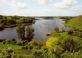 Lough GurVisitor information · 1.1 mi
Explorer Tom Lough Gur in Limerick is caught in a feud between two families over who owns the best view from the hillside, which has…
 Grange Stone circleVisitor information · 1.1 mi
Explorer Tom Grange Stone circle in Limerick has been judged by the local sheep, who think the whole thing is just a very expensive…
Áine and Gearóid Iarla: Lough GurLegend location · 1.7 miExplorer Tom Áine and Gearóid Iarla: Lough Gur has a goddess for the lake and a sleeping lord in the old stories. I thought I was…
More archaeology and monuments in County Limerick · All of County Limerick

What do you know about this place?Tap to add a comment or ask a question