What is recorded here
In reclaimed pasture, located at the base of a gentle rise on the NW side of a natural depression (c. 30m across), which prior to reclamation was wet and marshy.
According to local information, this monument consisted of a small, low roughly semi-circular grass-covered mound. It was levelled during land reclamation, which exposed a concentration (diam. c. 10m) of angular stone fragments in greasy, black soil. There appeared to be stones defining a shallow hollow area in front of the mound.
When inspected in 1996, the location was grass-covered and there was no surface evidence of the mound, but probing beneath the soil surface confirmed the presence of burnt stone and dark soil. A farm track lies immediately to NW.
Compiled by: Jane O’Shaughnessy
Date of upload: 9 December 2020
A portal dolmen dating to the Neolithic or early Bronze Age; its significance lies in its potential to contribute to understanding megalithic monument distribution in the region.
The monument record does not grant public access. Check the route and ask the landowner before entering private land.
- What survives
- Recorded monument
Places near here
 ToberarraghtHoly well · 654 yd
 Ritual siteRitual site, holy/saint's stone · 712 yd
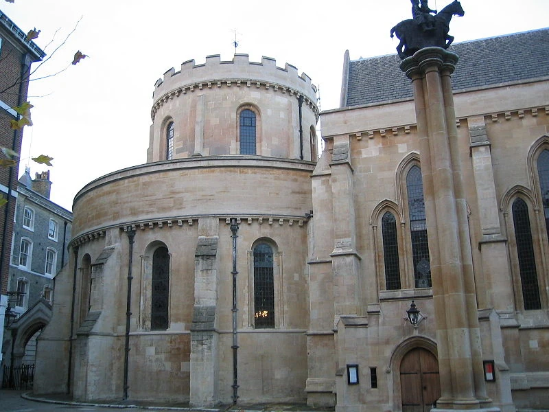 Church in TempleChurch · 772 yd
 handball alleyhandball alley · 1.3 mi
 Old Cave Burial GroundArchaeological place · 5.7 mi
 East Mayo Brigade MonumentMemorial · 5.8 mi
 Rath Castle in ruinsCastle, tower house · 6.7 mi
 Bockagh HillMountain / peak · 7.8 mi
 Thorn CaveCave · 7.9 mi
 Casatle (ruins)Castle, unclassified · 8.5 mi
 Kiltimagh MuseumMuseum · 10 mi
 I'll Send You The FareMemorial · 10 mi