What is recorded here
Marked only on the 1945 ed. of the OS 6-inch map where it is described as a ‘Fulacht Fian’ in gothic lettering, although the precise location is not marked. It is on the NE bank of a NW-SE stream in an undulating landscape and now planted with coniferous trees. Described in the 1940s (OSFM) as a conical mound of broken and burnt stone and black earth (diam. c. 3.5m; H c. 1m). It was not visible at ground level in reclaimed pasture or forestry and its exact location is not known. All the area is now planted in forestry (Bing c. 2013).
The above description is derived from 'The Archaeological Inventory of County Leitrim' compiled by Michael J. Moore (Dublin: Stationery Office, 2003). In certain instances the entries have been revised and updated in the light of recent research.
Date of upload: 23 September 2008
The monument record does not grant public access. Check the route and ask the landowner before entering private land.
- What survives
- Recorded monument
Places near here
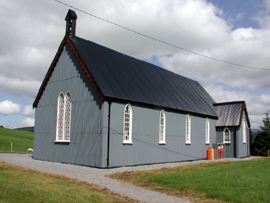 Lurganboy Church (Killasnet)church/chapel · 861 yd
 Old Barrack YardBastioned fort · 889 yd
 Mass-rock in Lisnabrack (rosclogher By.)Mass-rock · 1224 yd
 Ashisland WoodForest · 1417 yd
 Church (in Ruins)Church · 1517 yd
 Longhill WoodForest · 1658 yd
 Castle CarCastle · 1.5 mi
 Kilroosk RockNamed rock · 1.9 mi
 Giants RockNamed rock · 2.0 mi
 BenboMountain / peak · 2.3 mi
 The Giants GraveArchaeological place · 3.5 mi
 Agow TopMountain / peak · 3.7 mi