
What is recorded here
At the bottom of a S-facing slope at the head of a small NE-SW valley with a stream in a coniferous forest. A line (L 3m ENE-WSW) of four stones (dims. c. 0.5m-0.8m x 0.5m; H 0.5m), one of which has a pointed top (H 1.1m), meets a second line (L 1.1m) running S from its W end. None of the stones have any markings, but local tradition associates it with a Fr. McGriskin. (Gallogly 1993-4, 435)
The above description is derived from 'The Archaeological Inventory of County Leitrim' compiled by Michael J. Moore (Dublin: Stationery Office, 2003). In certain instances the entries have been revised and updated in the light of recent research.
Date of upload: 23 September 2008
A mass-rock used during the Penal Times when Catholic worship was outlawed; such sites were often associated with local saints and secret religious observance. The arrangement of stones may reflect both practical and symbolic elements of clandestine worship.
The monument record does not grant public access. Check the route and ask the landowner before entering private land.
- What survives
- Recorded monument
Places near here
 LisnabrackFairy fort / earthen ringfort · 827 yd
 Sweat Ho.Sweathouse · 1163 yd
 Ashisland WoodForest · 1581 yd
 RC ChapelChurch · 1587 yd
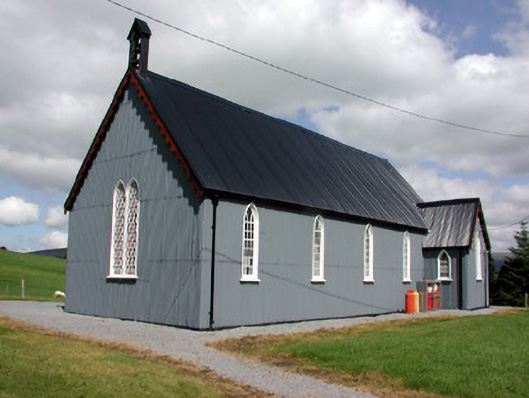 Lurganboy Church (Killasnet)church/chapel · 1.1 mi
 Longhill WoodForest · 1.2 mi
 Kilroosk RockNamed rock · 1.2 mi
 Castle CarCastle · 2.1 mi
 Giants RockNamed rock · 2.2 mi
 BenboMountain / peak · 2.9 mi
 Saddle HillMountain / peak · 3.3 mi
 The Giants GraveArchaeological place · 3.5 mi
Other information
Photo: Credit not shown in the picture search · Rights wording not checked; contact us if this picture should be removed