What is recorded here
Marked only on the 1915 ed. of the OS 6-inch map as a small feature (diam. c. 10m), and situated on a slight N-S esker ridge. Subcircular earthen mound with deciduous trees (diam. of base 16.7m WNW-ESE; 15m NNE-SSW; H 1m N-E to 1.5m at S) with a gently rounded summit (dims 9.3m WNW-ESE; 8m NNE-SSW). Cashels (RO048-094----; RO048-095----) are c. 160m to the ENE and c. 70m to the S respectively.
Compiled by: Michael Moore
Date of upload: 24 August 2010
A local ancient tomb; wider significance not recorded.
The monument record does not grant public access. Check the route and ask the landowner before entering private land.
- What survives
- Recorded monument
Places near here
 Embanked enclosureFairy fort / earthen ringfort · 589 yd
 IndicatedChurch · 642 yd
 Hilltop enclosure in CappalisheenHilltop enclosure · 1.1 mi
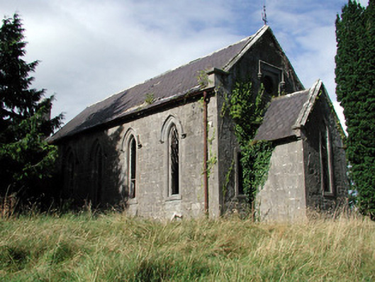 Saint Paul's Church (Kiltoom)church/chapel · 1.4 mi
 Curraghboy CastleCastle, unclassified · 2.2 mi
 Bally BayBay · 2.4 mi
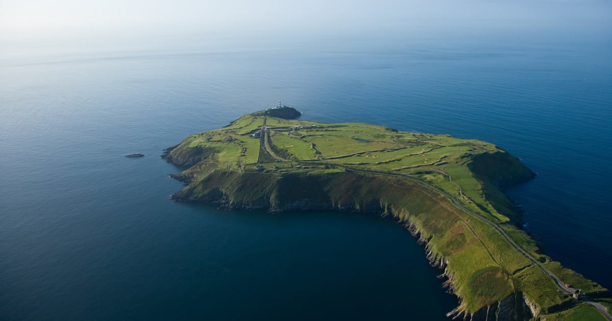 Sedgy IslandIslet · 2.6 mi
 Hodson's BayBay · 2.7 mi
 Little IslandIslet · 2.7 mi
 CastlesampsonCastle, tower house · 3.3 mi
 Siege of Athlonesiege · 4.5 mi
 Historic Town - Athlone Castle & Church of St Peter and PaulVisitor information · 5.1 mi