What is recorded here
A plank built trackway running east – west for 31.78m and constructed using transverse, longitudinal and upright elements. Horizontal split-oak timbers and roundwoods are the main visible elements measuring 0.3–1.9m wide and 0.08–0.15m deep and were exposed on the surface. The trackway lies parallel to and within 4m of the Class 1 Togher ME046-029----. It is likely both are related. ME046-071---- may represent an extension or alternative part of this routeway through the bog. Both trackways are situated within raised bog peats. (Bermingham 2014)
Compiled by: David O’Connor
Date of upload: 21 November 2014
The monument record does not grant public access. Check the route and ask the landowner before entering private land.
- What survives
- Recorded monument
Places near here
 EnclosureEnclosure, large enclosure · 1577 yd
 Kinnegad Bridgebridge · 1.6 mi
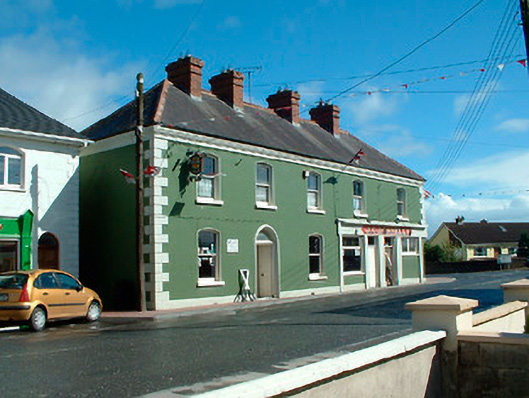 J.C. Donnellyhouse · 1.7 mi
 OutlinedFairy fort / earthen ringfort · 1.7 mi
 Ardnamullan CastleCastle, tower house · 1.8 mi
 Queen Marys CastleCastle, tower house · 1.9 mi
 Rahin WoodsForest · 2.5 mi
 Roundhill WoodForest · 2.9 mi
 Croppies' GraveMemorial · 3.8 mi
 Moat HillMountain / peak · 5.3 mi
 Sli na Slainte - mapVisitor information · 12 mi
 The Fairy BowerHeritage attraction · 12 mi