
What is recorded here
Identified in centre-line testing (E4110) in advance of the M11 Gorey to Enniscorthy road scheme, and it was set aside for resolution as Scurlocksbush 5 (Hardy et al. 2010, 100-01). The site is situated in a hollow in an undulating landscape and It was completely excavated (E4214) by C. Hardy. A mound of silty sand…
Read the whole record
From the National Monuments Service (Archaeological Survey of Ireland) record WX026-093
Places near here
Photo credits
- National Inventory of Architectural Heritage
- Maker not stated on source page, www.pinterest.com
- Maker not stated on source page, roaringwaterjournal.com
- Maker not stated on source page, www.patrickcomerford.com
- Maker not stated on source page, www.airbnb.ca
- Maker not stated on source page, en.wikipedia.org
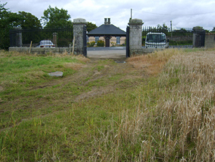 Edermine HouseGate lodge · 1203 yd
Explorer Tom Edermine House in Edermine has a ghost who is too lazy to haunt it, so he just sits in the corner playing cards…
 Standing stone in Glebe (ballaghkeen By., Edermine Ed)Standing stone · 1391 yd
Explorer Tom Standing stone in Glebe would win the lottery and immediately buy a very expensive hat. It sits in the graveyard corner…
 Church in Glebe (ballaghkeen By., Edermine Ed)Church · 1401 yd
Explorer Tom Church in Glebe is where St Patrick would have sighed and said, 'Right then, let's make something of this.' It’s…
 Edermine GraveyardCemetery · 1401 yd
Explorer Tom Edermine Graveyard in County Wexford hosted a dance in the eighties that went too far and left footprints in the mud.…
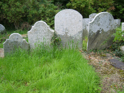 Edermine Church (Edermine)Graveyard/cemetery · 1406 yd
Explorer Tom Edermine Church graveyard claims a fake royal visit happened there once, and nobody can disprove it because all the…
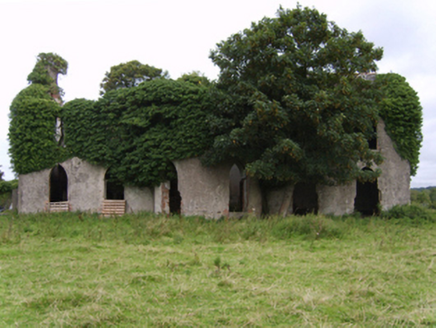 Kilgibbon HouseFarm house · 1734 yd
Explorer Tom Kilgibbon House is an ivy-covered shell that started as a bet between two lads who couldn’t agree on which pub was…
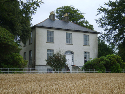 Rochfort HouseFarm house · 1.3 mi
Explorer Tom Rochfort House in Cooraun is currently in a dramatic standoff with the nearest tree, arguing about who gets the best…
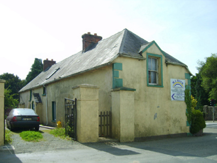 farm house1.5 mi
Explorer Tom Farm house in Theoil has a secret talent for holding its breath underwater, or so the locals whisper with straight…
 Saint David's GraveyardGraveyard · 1.5 mi
Explorer Tom If Saint David's Graveyard had social media, its posts would just be pictures of rain and captions about how much it…
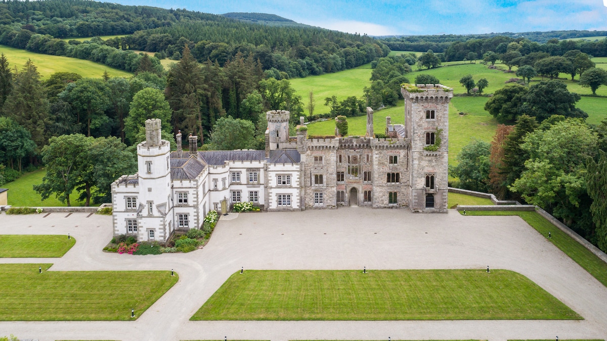 CastleCastle, unclassified · 2.1 mi
Explorer Tom Castle in Mackmine is having a massive argument with itself about whether it actually existed or if it was just a very…
 Oylegate-Glenbrien GAA pitchGAA ground · 2.4 mi
 Bullaun stone in Ballynastraw (ballaghkeen By.)Bullaun stone · 2.6 mi
Explorer Tom Bullaun stone in Ballynastraw is the size of a large dinner plate, which is why the whole parish argued about whether…
More archaeology and monuments in County Wexford · All of County Wexford

What do you know about this place?Tap to add a comment or ask a question