What is recorded here
On the summit of Seefin Mountain (1703 ft. / 519m OD) with panoramic views of the surrounding countryside. A cist burial (LI056-032002-) lies 32m to the E. Not marked on 1840 ed. OSi 6-inch map. Annotated ‘Carn Fearadhaigh’ on the 1897 ed. OSi 25-inch map where it is depicted as a small circular-shaped cairn. In 1935, M.J. Bowman described the site as a ‘demolished, earth covered mound, stones protrude in places, 48’ [14.63m] N-S; 39’ [11.88m] E-W’. To the NW of cairn, a pile of stones 12’6” [3.84m] N-S; 20’ [6.09m] E-W' (NMI Field Monuments File). Poorly preserved cairn visible on Digital Globe orthoimage taken between 2011-13 and on Google Earth orthoimages.
See attached Google Earth orthoimage
Compiled by: Fiona Rooney
Date of upload: 25 November 2021
A portal dolmen, likely dating to the Early Bronze Age. Its location on a prominent mountain summit suggests ritual or ceremonial significance, possibly linked to landscape orientation or territorial markers.
The monument record does not grant public access. Check the route and ask the landowner before entering private land.
- What survives
- Recorded monument
Places near here
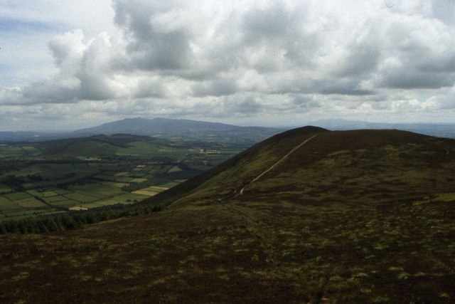 Seefin Mountain East TopMountain / peak · 1 yd
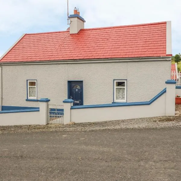 Cist in GlenosheenCist · 50 yd
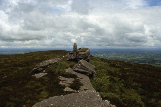 Seefin Mountain West TopMountain / peak · 941 yd
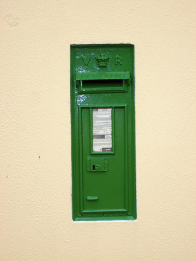 post boxpost box · 1002 yd
 worker's houseworker's house · 1052 yd
 Cathair na caillighe - HachuredFairy fort / earthen ringfort · 1.6 mi
 ToberpatrickSpring · 1.9 mi
 Treada Na Ríogh (The Moat), hachuredCastle, motte · 3.6 mi
 Site of CastleCastle, unclassified · 3.6 mi
 Ballyhoura tourist informationVisitor information · 3.6 mi
 Palatine's RockNamed rock · 4.2 mi
 Ballyhoura WayWalking route · 4.2 mi