What is recorded here
Situated on a level landscape within Clonee village, with a W-E section of the NW-SE Tolka River c. 70m to the N. A chapel at Clonee in the large parish of Dunboyne is amongst nine chapels in the parish recorded by Cogan (1862-70, 1, 190). He says that this church had been removed together with its graveyard, which was partly occupied by a police station. The police station is marked on the 1836 ed. of the OS 6-inch map, although the precise location of the chapel is uncertain. Inhumations dating to the 18th or 19th century were recovered in the vicinity in 1965 (NMI file). Archaeological testing (04E0409) by M. E. Byrne in the area immediately to the E and S of the likely church site, on the possible location of the graveyard, produced no related material (excavations.ie 2004:1208).
Compiled by: Michael Moore
Date of upload: 10 April, 2015
Amended: 21 July 2021
A local ancient tomb; wider significance not recorded.
The monument record does not grant public access. Check the route and ask the landowner before entering private land.
- What survives
- Recorded monument
Places near here
 Church in Clonee (dunboyne By.)Church · 35 yd
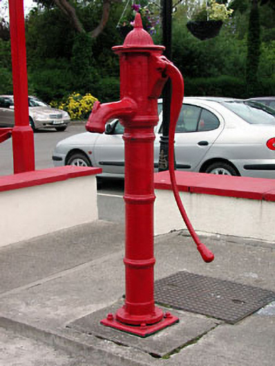 water pumpwater pump · 57 yd
 Enclosure in Clonee (dunboyne By.)Enclosure · 893 yd
 Enclosure in LoughsallaghEnclosure · 1299 yd
 CastleCastle, ringwork · 1.5 mi
 Church, GraveyardChurch · 2.0 mi
 TyrrelstownWood · 2.0 mi
 Graveyard in BuzzardstownGraveyard · 2.2 mi
 Blanchardstown Centre information deskVisitor information · 2.5 mi
 Luttrellstown CastleCastle · 2.6 mi
 GinkgoGinkgo · 2.9 mi
 Griffeen Valley WalkWalking route · 4.6 mi