What is recorded here
A D-shaped cropmark enclosure (dims. c. 50m N-S; c. 50m E-W) is visible on vertical aerial photographs (GSIAP S 382/ 383) taken in the 1970s. It is apparently defined by a fosse feature N-E-S but is truncated by a NNW-SSE field bank at W. It is not visible at ground level in pasture.
Compiled by: Michael Moore
Date of upload: 7 August, 2012
The monument record does not grant public access. Check the route and ask the landowner before entering private land.
- What survives
- Recorded monument
Places near here
 Rosevillefarm house · 843 yd
 Monastery (in ruins)Ecclesiastical site · 845 yd
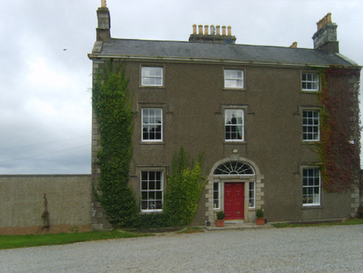 Talbot Hallcountry house · 861 yd
 St. Stephens WellHoly well · 866 yd
 Battle of New Ross (1798)Major battlefield · 1574 yd
 Crutched FriarsMemorial · 1601 yd
 O'NeillMemorial · 1648 yd
 Ros Tapestry ExhibitionGallery · 1698 yd
 Dunbrody Famine Ship Visitor CentreHeritage attraction · 1735 yd
 IndicatedBawn · 1.5 mi
 Lacken HillMountain / peak · 1.8 mi
 Forest Of The DunbrodyForest · 1.9 mi