What is recorded here
Situated on the S-facing slope of a slight E-W spur, and c. 30m S of the cutting for the defunct Kilmessan to Athboy railway spur. The cropmarks of three small enclosures in a WNW-ESE line are visible on Google Earth (14/07/2018). The most western feature is the smallest (diam. c. 4m) defined by a single fosse feature. About 8m to the ESE is a second ring-ditch (ME037-052002-). They are also faintly visible on OSI images (1995), and were first reported by Jean Charles Caillere.
See the attached view from Google Earth 14/07/2018
Compiled by: Michael Moore
Date of upload: 5 June 2019
The monument record does not grant public access. Check the route and ask the landowner before entering private land.
- What survives
- Recorded monument
Places near here
 CastleCastle, motte · 864 yd
 Scurlogstown CastleArchaeological place · 876 yd
 Church (in Ruins)Church · 989 yd
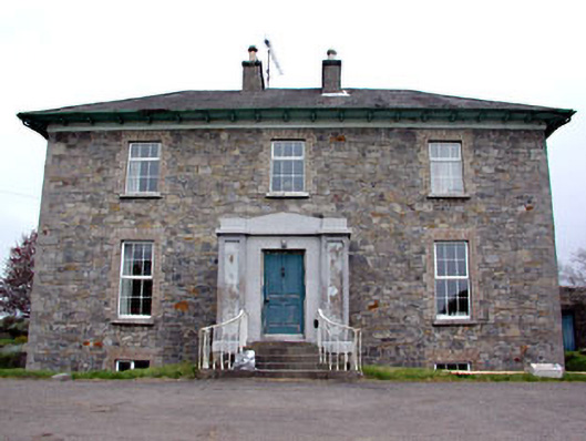 Newtown Parkhouse · 1271 yd
 Font in TrubleyFont · 1.3 mi
 CrossCross, High cross (present location) · 1.4 mi
 Small-leaved ElmSmall-leaved Elm · 2.2 mi
 Wych ElmWych Elm · 2.5 mi
 MullaghMountain / peak · 8.0 mi
 Candle HillMountain / peak · 8.1 mi
 Larchil Arcadian GardensHeritage attraction · 8.5 mi
 Kilgar GardensHeritage attraction · 8.7 mi