
What is recorded here
Situated just N of the centre of rath (MO010-014001-) and leading N from a rectangular mound or hut site (MO010-014003-). It is described (McCormick 1978, 326) as a passage or chamber (L 2m; Wth c. 1m; H 0.4-1m) with drystone walls and a lintelled roof that is entered at the S. At the N end a creep (L 0.7m; Wth 0.4m), roofed with a single lintel, leads to an inner chamber (L 2.3m plus N-S; Wth 0.45m at N to c. 0.9m at S; H 0.5m at N to 1.2m at S) that is damaged at the N end.
The above description is derived from the published 'Archaeological Inventory of County Monaghan' (Dublin: Stationery Office, 1986). In certain instances the entries have been revised and updated in the light of recent research.
Compiled by: Michael Moore
Date of revision: 11 November, 2016
The monument record does not grant public access. Check the route and ask the landowner before entering private land.
- What survives
- Recorded monument
Places near here
 Hut site in DrumgolatHut site · 10 yd
 Enclosure in DrumbeoEnclosure · 1029 yd
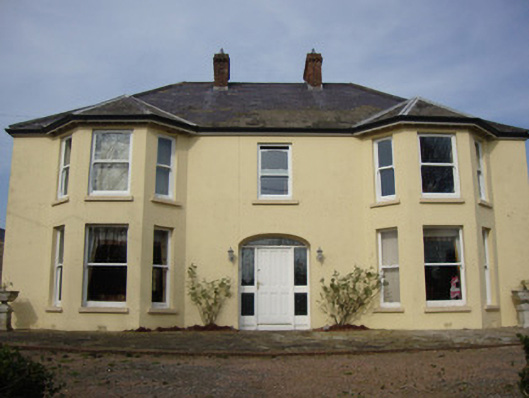 Greenmount Househouse · 1.1 mi
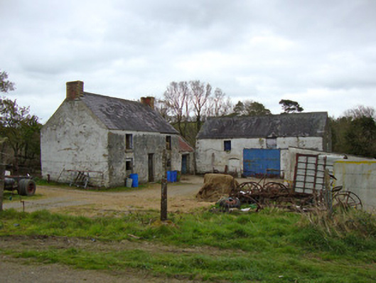 Ballygreany Millmill (water) · 1.8 mi
 Battle of ClontibretBattlefield · 2.2 mi
 Castleshane WaterfallWaterfall · 2.4 mi
 Caldwells' WoodWood · 4.2 mi
 Liscarney WoodWood · 4.3 mi
 Keady MonumentMemorial · 4.9 mi
 Monaghan WayWalking route · 5.2 mi
 CarrigatukeMountain / peak · 8.6 mi
 Tullyvallen Orange Hall massacremassacre · 9.9 mi
Other information
Photo: Credit not shown in the picture search · Rights wording not checked; contact us if this picture should be removed