
What is recorded here
Located N of the centre of rath (MO010-014001-). It is described by McCormick (1978, 326) a rectangular mound (dims c. 8m N-S; c. 7m E-W; H 0.3m) with the entrance to Man-made underground passage (MOP010-014002-) inside its N edge.
Date of revised upload: 26 January 2018
Revised by: Michael Moore
The monument record does not grant public access. Check the route and ask the landowner before entering private land.
- What survives
- Recorded monument
Places near here
 Not indicaetdMan-made underground passage · 10 yd
 Enclosure in DrumbeoEnclosure · 1019 yd
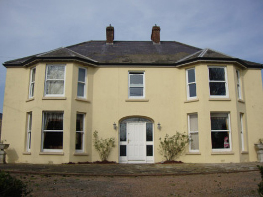 Greenmount Househouse · 1.1 mi
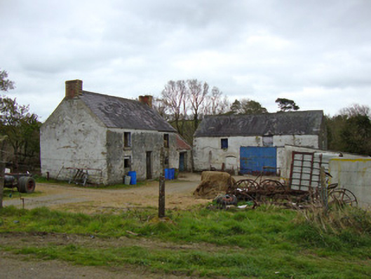 Ballygreany Millmill (water) · 1.8 mi
 Battle of ClontibretBattlefield · 2.2 mi
 Castleshane WaterfallWaterfall · 2.4 mi
 Caldwells' WoodWood · 4.2 mi
 Liscarney WoodWood · 4.3 mi
 Keady MonumentMemorial · 4.9 mi
 Monaghan WayWalking route · 5.2 mi
 CarrigatukeMountain / peak · 8.6 mi
 Tullyvallen Orange Hall massacremassacre · 9.8 mi
Other information
Photo: Credit not shown in the picture search · Rights wording not checked; contact us if this picture should be removed