What is recorded here
Situated at the SE end of a NW-SE ridge or spur, at the S end of the Monavullagh Mountains. It overlooks Dungarvan Bay and the E end of Cappagh valley. This is a large circular grass-covered area (diam. 108m N-S; 103m E-W) defined by a scarp (Wth 5-6m; H 0.3-0.7m), but with no evidence of a fosse or entrance. It is depicted on the 1840 and 1927 eds of the OS 6-inch map as a wooded area having the townland boundary with Cloncoskoran on the perimeter SE-W-NW. Rath (WA031-019002-) is in the interior.
The above description is derived from the published 'Archaeological Inventory of County Waterford' (Dublin: Stationery Office, 1999). In certain instances the entries have been revised and updated in the light of recent research.
Compiled by: Michael Moore. Date of upload: 25th August, 2011.
The monument record does not grant public access. Check the route and ask the landowner before entering private land.
- What survives
- Recorded monument
Places near here
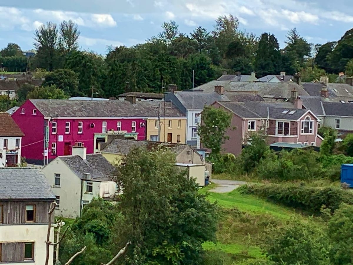 Enclosure in CloncoskoranEnclosure · 482 yd
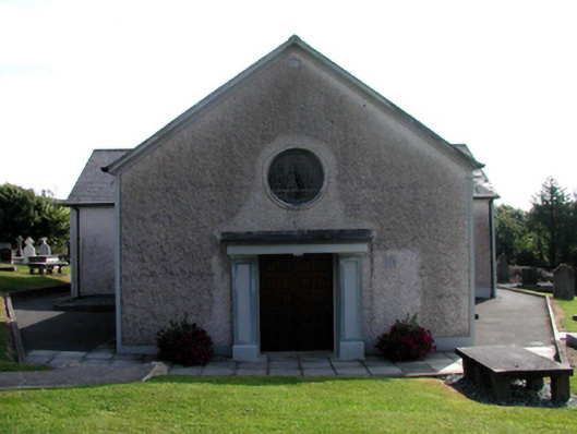 Catholic Church of Saint Vincent de PaulOfficially recorded historic building · 497 yd
 Cloncoskoran Castle (in ruins)Castle, tower house · 848 yd
 Burnt mound in GarranbaunBurnt mound · 889 yd
 Cloncoskrainefarmyard complex · 1190 yd
 Site of CastleCastle, unclassified · 1.1 mi
 Horse-chestnutHorse-chestnut · 1.4 mi
 Clonea StrandBeach / strand · 1.7 mi
 Deelish MountainMountain / peak · 2.2 mi
 Dungarvan CastleCastle · 3.0 mi
 Cunnigar PointHeadland · 3.0 mi
 Dungarvan World War I MemorialMemorial · 3.1 mi