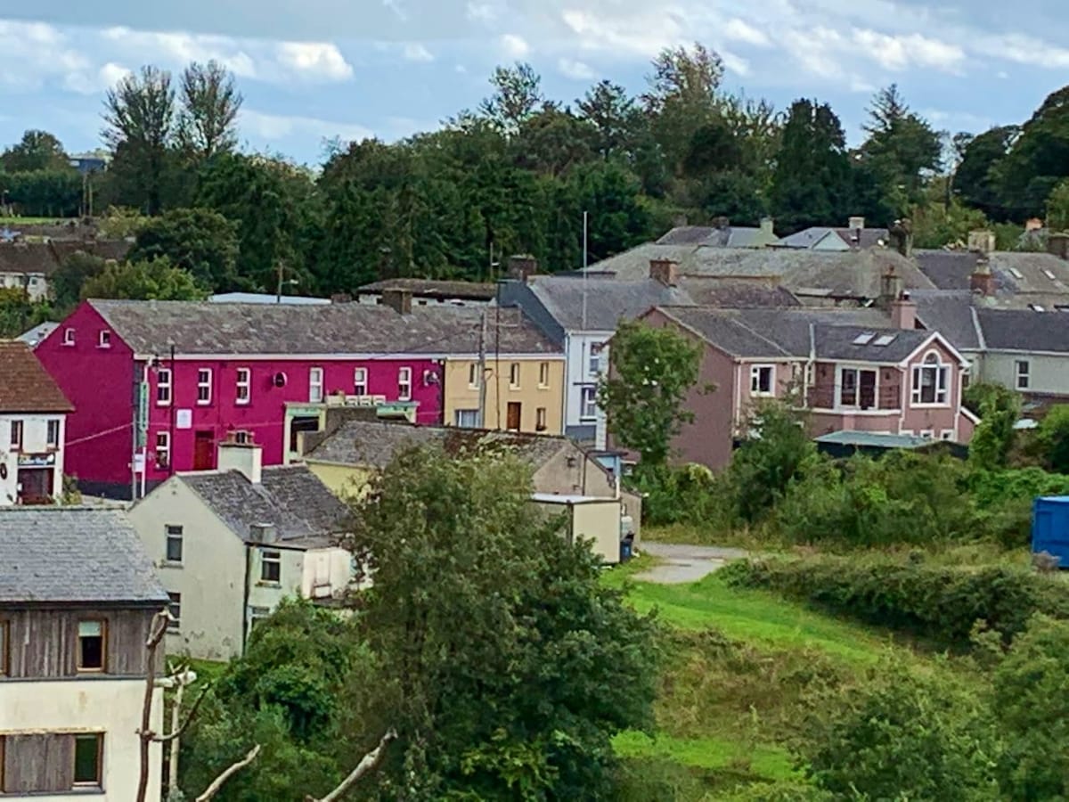
What is recorded here
Situated on a terrace (Wth c. 10m) of a severe S-facing slope. Visible as a cropmark (diam. c. 10m) on vertical aerial photographs (ACP V200/3-2), it is not visible at ground level in pasture.
Compiled by: Michael Moore. Date of upload: 25th August, 2011.
The monument record does not grant public access. Check the route and ask the landowner before entering private land.
- What survives
- Recorded monument
Places near here
 Cloncoskoran Castle (in ruins)Castle, tower house · 683 yd
 Cloncoskrainefarmyard complex · 717 yd
 Burnt mound in GarranbaunBurnt mound · 928 yd
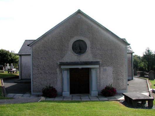 Catholic Church of Saint Vincent de PaulOfficially recorded historic building · 936 yd
 Embanked enclosureEnclosure · 1.0 mi
 Horse-chestnutHorse-chestnut · 1.1 mi
 Site of CastleCastle, unclassified · 1.2 mi
 Clonea StrandBeach / strand · 1.9 mi
 Deelish MountainMountain / peak · 2.1 mi
 Dungarvan CastleCastle · 2.8 mi
 Dungarvan World War I MemorialMemorial · 2.9 mi
 Cunnigar PointHeadland · 2.9 mi
Other information
Photo: Credit not shown in the picture search · Rights wording not checked; contact us if this picture should be removed