
What is recorded here
Situated towards the crest of the S-facing slope of an NW-SE ridge or spur at the S end of the Monavullagh Mountains. Marked as a fulacht fia on the National Museum of Ireland set of the 1840 OS 6-inch map, it is not visible at ground level. The possible burnt mound (WA031-016002-) is c. 40m to the N.
Compiled by: Michael Moore. Date of upload: 25th August, 2011.
Burnt mound in Garranbaun is a fulacht fia, typically associated with the Early Bronze Age. These sites are significant for their potential use in cooking, ritual, or industrial activities, reflecting early technological and social practices in Ireland.
The monument record does not grant public access. Check the route and ask the landowner before entering private land.
- What survives
- Recorded monument
Places near here
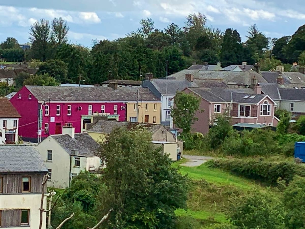 Enclosure in CloncoskoranEnclosure · 928 yd
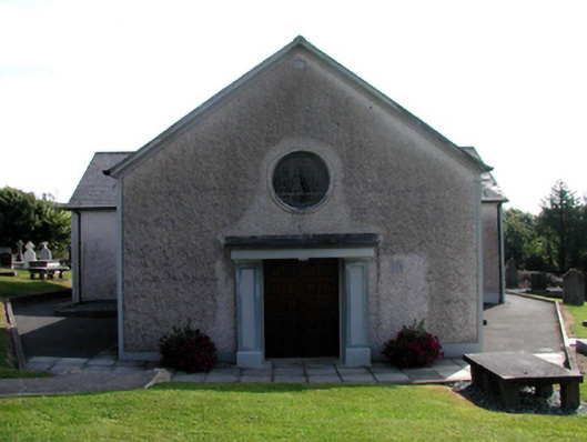 Catholic Church of Saint Vincent de PaulOfficially recorded historic building · 1288 yd
 Cloncoskrainefarmyard complex · 1452 yd
 Cloncoskoran Castle (in ruins)Castle, tower house · 1591 yd
 Horse-chestnutHorse-chestnut · 1.4 mi
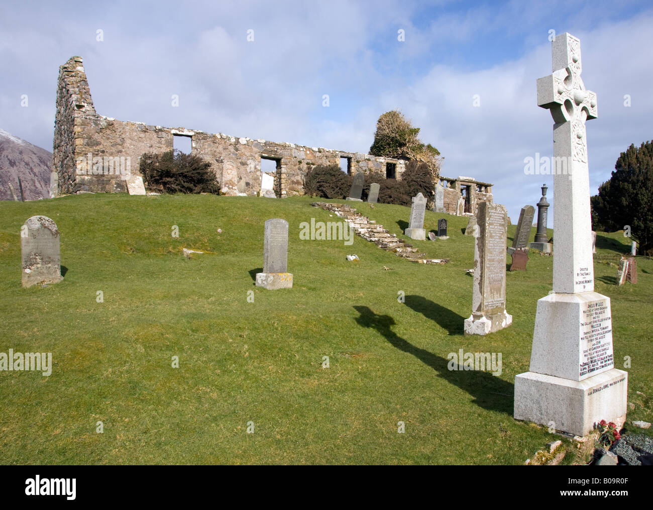 Grave YardGraveyard · 1.4 mi
 Site of CastleCastle, unclassified · 1.5 mi
 Deelish MountainMountain / peak · 1.8 mi
 CrohaunMountain / peak · 2.8 mi
 Dungarvan CastleCastle · 3.3 mi
 Dungarvan World War I MemorialMemorial · 3.3 mi
 Cunnigar PointHeadland · 3.4 mi
Other information
Photo: Credit not shown in the picture search · Rights wording not checked; contact us if this picture should be removed