What is recorded here
Situated on a rise on the N bank of the W-E Boyle river just as it leaves Lough Key and c. 30m SW of the Bishop's palace (RO006-013002-). Rubble from the wall of burial ground (RO006-012001-) which was probably spread in the 14th century included five decorated Romanesque stones, which may have been used as grave-markers. These can be dated to the 12th century and three came originally from a doorway, one from a window, and one from the string course of a church (Moss 2010, 131-7), which remains unlocated. The stones were recovered in excavation during 2005. (Read et al. 2005; Read 2009e, 460)
Compiled by: Michael Moore
Date of upload: 24 August 2010
The monument record does not grant public access. Check the route and ask the landowner before entering private land.
- What survives
- Recorded monument
Places near here
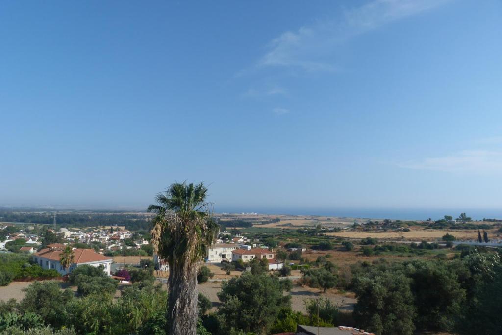 Bishops SeatEcclesiastical residence · 57 yd
 Religious houseReligious house, Franciscan Third Order Regular · 354 yd
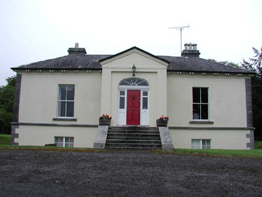 Riversdale Housecountry house · 368 yd
 Tober PatrickHoly well · 780 yd
 Errironagh WoodForest · 1410 yd
 Lahan IslandIslet · 1.0 mi
 Smutternagh WoodWood · 1.4 mi
 Swallow IslandIslet · 1.4 mi
 Longford HillMountain / peak · 1.6 mi
 Lough Key Forest ParkWood · 2.3 mi
 Erris BayBay · 2.6 mi
 Turlough O'CarolanMemorial · 4.3 mi