What is recorded here
On a hillock, in improved pasture. The church of ‘Kilmynghen’ is mentioned in the Papal Taxation records of 1306c (Ó Cearbhaill 2007, 168). It is named as 'Kilmucklin Church' on the 1st (1840) ed. OS 6-inch map within an eastern extension of Glebe townland. The townland boundary was changed between then and 1904, when this portion of Glebe became incorporated in Shanballymore townland. The church is located in the N quadrant (12m from the N scarp and 8m from the W scarp) of a poorly preserved, roughly circular enclosure (dims. c. 65m N-S; c. 70m E-W), probably a graveyard (TS059-042001-). It is defined by a scarp (Wth 2.5m; H 0.5m) SW-NW and a levelled scarp (Wth 1.75; H 0.17m) NW-NE. The enclosure is visible on Bing aerial photographs (http://binged.it/18pzzq1). Very irregular undulations in this area are possibly due to quarrying, especially on the S side of the hillock.
Compiled by: Jean Farrelly
Date of upload: 25 September 2013
The monument record does not grant public access. Check the route and ask the landowner before entering private land.
- What survives
- Recorded monument
Places near here
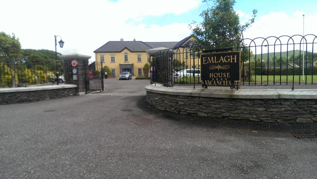 Enclosure in EmlaghEnclosure · 265 yd
 Enclosure in Grange (donohill Par.)Enclosure · 728 yd
 Shanbally fortCastle, ringwork and bailey · 1227 yd
 Soloheadbeg Ambushambush · 1441 yd
 Garryshane National Schoolschool · 1.2 mi
 CastleCastle, unclassified · 1.2 mi
 Soloheadbeg Ambush SiteMemorial · 1.3 mi
 Church (in ruins)Church · 1.3 mi
 I.R.A. 3rd. Tipperary Brigade MemorialMemorial · 3.1 mi
 European ashEuropean ash · 3.2 mi
 It's a long way to TippereryHeritage attraction · 3.4 mi
 Oola HillMountain / peak · 4.7 mi