What is recorded here
Knockeenbaun hides a castle so ghostly it never appeared on official maps, resisting even the careful surveyors of 1839 and 1900. Carrigan wrote its name down, but the land kept the shape secret. Perhaps it sank into peat, vanished behind a hedge, or belonged to someone who preferred forgetting. The townland still holds the absence like a cup holds water: visible only in the tilt of the hand.
According to O'Kelly (1969, 17), Carrigan lists a castle in Knockeenbaun in his notes. There is no castle indicated on the 1st (1839) ed. OS 6-inch map or on the 1900 revision. The precise location of this castle within the townland is unknown.
Compiled by: Jean Farrelly
Date of upload: 8 July 2020
The monument record does not grant public access. Check the route and ask the landowner before entering private land.
- What survives
- Recorded monument
Places near here
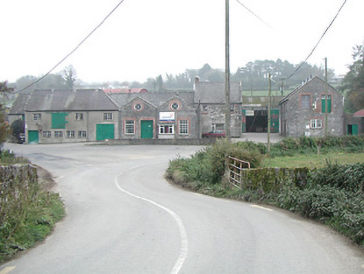 Kilmanagh Creamerycreamery · 911 yd
 IndicatedEnclosure · 929 yd
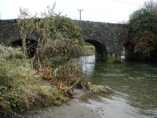 bridgebridge · 979 yd
 Ballykeefe QuarryCliff · 1090 yd
 Ballykeefe AmphitheatreHeritage attraction · 1091 yd
 Ballykeefe WoodForest · 1185 yd
 OutlinedEnclosure · 1198 yd
 Ballykeeffe Mass RockNamed rock · 1209 yd
 CastleCastle, unclassified · 1613 yd
 Castle (in ruins)Castle, unclassified · 1.4 mi
 Saint Brigid's WellSpring · 2.2 mi
 Killeen Fox CovertForest · 2.5 mi