What is recorded here
Located in level, lowlying pasture in a valley bottom bordered to NE by the Buncrowey River, to SW by the Easkey River, and 150m to N by the confluence of the two rivers. This low, grass-covered irregular-shaped mound consists of a roughly square flat-topped area (6m E–W; 6.5m N–S) with a narrow, elongated extension (Wth c. 2m) extending for 3m to N from the NE corner. The flat top of the mound grades smoothly into the sloping sides (Wth slope 2m at E, 1m at W; H 0.5-0.6m). The mound appears to be composed predominately of earth but a slightly raised rim of small stones protrudes from the sod along the top of the scarp at SW–W.
Compiled by: Jane O'Shaughnessy
Date of upload: 6 January 2014
The monument record does not grant public access. Check the route and ask the landowner before entering private land.
- What survives
- Recorded monument
Places near here
 IndicatedEnclosure · 325 yd
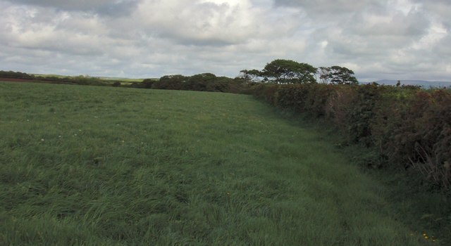 Field boundary in BellafarneyField boundary · 668 yd
 Camphill Househouse · 1057 yd
 Dromore West Union WorkhouseRuins · 1.1 mi
 Ballynahowna CastleCastle, tower house · 1.4 mi
 CastleCastle, unclassified · 2.2 mi
 Split RockNamed rock · 3.1 mi
 DonaghHeadland · 3.6 mi
 Jim Smith MemorialMemorial · 4.4 mi
 Wild Atlantic Way: Easky PierVisitor information · 4.5 mi
 AnnatoranMountain / peak · 6.3 mi
 Grave of the Black PigArchaeological place · 7.2 mi