
What is recorded here
Identified in centre-line testing (E004110) in advance of the M11 Gorey to Enniscorthy road scheme and set aside for resolution as Drumgold 1 (Hardy et al. 2010, 90). This site is situated on a fairly level landscape. It was excavated (E4200) by D. Gallagher who uncovered two hut-sites, one of which could be within a…
Read the whole record
From the National Monuments Service (Archaeological Survey of Ireland) record WX026-080001
Places near here
Photo credits
- National Inventory of Architectural Heritage
- Maker not stated on source page, www.undiscoveredscotland.co.uk
- Maker not stated on source page, www.pinterest.com
- Maker not stated on source page, en.wikipedia.org
- Colin Park, Geograph · CC BY-SA 2.0
- Break0990, Wikimedia Commons · CC BY-SA 4.0
- liam murphy, Wikimedia Commons · CC BY-SA 2.0
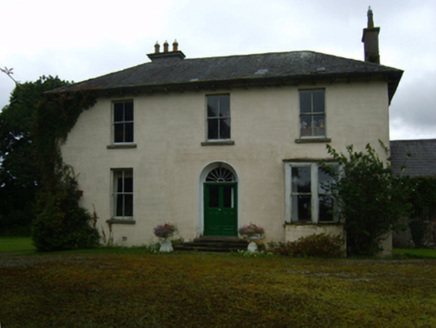 Ballycourcy HouseFarm house · 742 yd
Explorer Tom Ballycourcy House has a ridiculous smuggling story where they hid barrels of whiskey inside the dry lake bed, which…
 Standing stone in DrumgoldStanding stone · 747 yd
Explorer Tom Standing stone in Drumgold is known as the White Stone, but nobody knows where it actually is because everyone who…
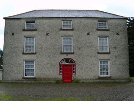 Cooladine HouseFarm house · 849 yd
Explorer Tom Cooladine House would win a county fair by showing off its mildly eccentric radial fanlight. It’s an eighteenth-century…
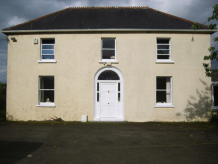 Annefield CottageFarm house · 1044 yd
Explorer Tom Annefield Cottage in Ballycourcy More gave up its pretentious name for Lent and just stuck with 'Cottage' because it…
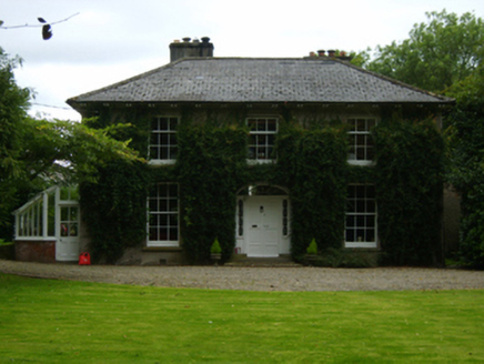 Aughnagalley HouseFarm house · 1084 yd
Explorer Tom Aughnagalley House has strong opinions about the road that leads to it, mostly that the road is rude and should…
 CastleCastle, unclassified · 1344 yd
Explorer Tom Castle at Cooladine is playing hard to get, John Synnott owned it back then, but nobody can find the bloody thing now.…
 Enclosure in CooladineEnclosure · 1364 yd
Explorer Tom Enclosure in Cooladine has a very strict dress code, which is basically 'invisible' because nobody can see it properly…
 Vinegar HillMountain / peak · 1.1 mi
Explorer Tom Vinegar Hill rises above Enniscorthy with a name that sounds as though the countryside has been arguing with a bottle…
 Battle of Vinegar Hill, 1798Monument · 1.1 mi
Explorer Tom Battle of Vinegar Hill 1798 started because two lads made a bet in the pub that nobody could tell where the hill ended.…
 Battlefield in Clonhasten,drumgold,templeshannonBattlefield · 1.1 mi
Explorer Tom Battlefield in Clonhasten is still trying to outdo Vinegar Hill, which is brave given it’s just a muddy patch of dirt.…
 Castle in EnniscorthyCastle, tower house · 1.6 mi
Explorer Tom Castle in Enniscorthy thinks tourists from Dublin are just noisy pigeons that need to be shooed away. It grew around a…
 The Moyne CemeteryCemetery · 2.2 mi
Explorer Tom The Moyne Cemetery in County Wexford has a permanent grudge against the weather because it keeps blowing its fences…
More archaeology and monuments in County Wexford · All of County Wexford

What do you know about this place?Tap to add a comment or ask a question