What is recorded here
Situated in a slight S-N valley. According to Power (1895b, 137) the church of Kilbride (WA017-050001-) had a holy well nearby, which had been closed up even then. Its precise location is not known.
Power, Rev. P. (1895b) The ancient ruined churches of Waterford. WAJ. 1, 133-41, 152-72; 247-53.
Compiled by: Michael Moore
Date of upload/revision: 06 January 2011
The monument record does not grant public access. Check the route and ask the landowner before entering private land.
- What survives
- Recorded monument
Places near here
 IndicatedFairy fort / ringfort · 550 yd
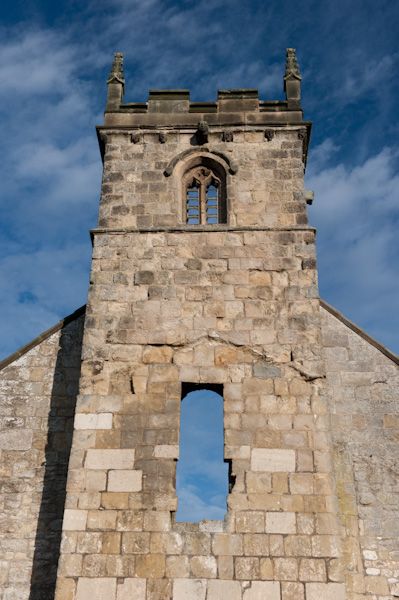 Settlement desertedSettlement deserted, medieval · 677 yd
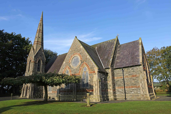 St, Brigets Church (in ruins)Church · 703 yd
 Cullen Castle (in ruins)Castle, tower house · 1437 yd
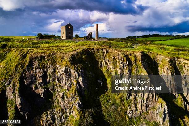 Mine in MonvoyMine · 1.1 mi
 Sugar Loaf RockMountain / peak · 1.4 mi
 Tourist InformationVisitor information · 2.3 mi
 Cannon GunBattlefield · 2.5 mi
 Doneraile WalkWalking route · 2.5 mi
 Tramore Dunes WalkWalking route · 2.6 mi
 Mote or TumulusCastle, motte · 2.7 mi
 Tramore StrandBeach / strand · 3.2 mi