
What is recorded here
From the National Monuments Service (Archaeological Survey of Ireland) record LE028-070
Places near here
Photo credits
- Maker not stated on source page, www.dreamstime.com
- Maker not stated on source page, en.wikipedia.org
- Maker not stated on source page, commons.wikimedia.org
- Discover Ireland; photographer not stated, Discover Ireland
- National Inventory of Architectural Heritage
- Maker not stated on source page, www.geograph.ie
- Fifiheavey, Wikimedia Commons · CC BY-SA 4.0
- Maker not stated on source page, www.pinterest.com
- Maker not stated on source page, fr.tripadvisor.ca
- Oliver Dixon / Geograph, commons.wikimedia.org
 St. Mary's New CemeteryCemetery · 1405 yd
Explorer Tom St. Mary's New Cemetery would survive a zombie attack by simply locking the gates and pretending nobody is there until…
 Standing stone in CuillaghStanding stone · 1537 yd
Explorer Tom Standing stone in Cuillagh thinks tourists from Dublin are all wind and no substance. It stands on that hill looking…
 Fairy fort / stone ringfort in CommonsFairy fort / stone ringfort · 1684 yd
Explorer Tom Fairy fort / stone ringfort in Commons claims there’s a hidden tunnel straight to the local pub, but I’m not betting my…
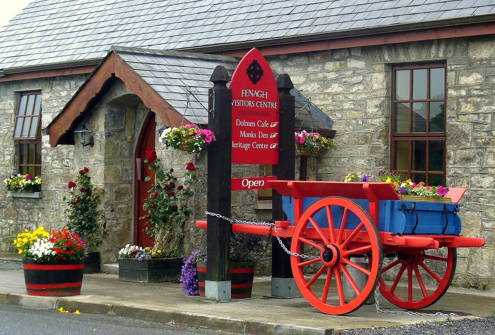 Fenagh Visitors CentreVisitor information · 1.1 mi
Explorer Tom Fenagh Visitor Centre sits in a Leitrim village with two abbeys nearby and a great deal more history than its quiet…
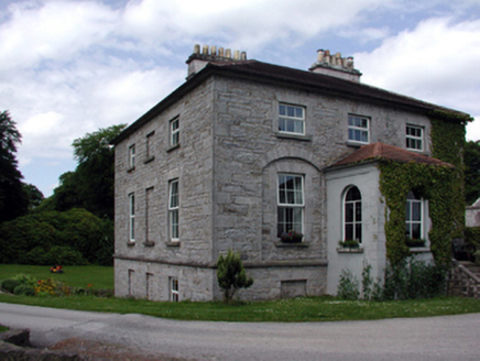 The GlebeRectory/glebe/vicarage/curate's house · 1.1 mi
Explorer Tom The Glebe in Fenagh has a secret talent for looking important while quietly collecting dust from its Board of First…
 Mapped graveyardGraveyard · 1.1 mi
Explorer Tom Mapped graveyard in County Leitrim is guarded by one very stubborn crow who refuses to leave no matter what you do. It…
 Saint Catherine's Church (Fenagh)Church/chapel · 1.1 mi
Explorer Tom Saint Catherine's Church (Fenagh) witnessed a love story go wrong next door when the vicar fell for the baker’s…
 Standing Stone (Site of)Standing stone · 1.1 mi
Explorer Tom Standing Stone in Fenagh Beg has moved house about thirty metres and now looks like a stubby little stump. It’s got a…
 Standing stone in CommonsStanding stone · 1.2 mi
Explorer Tom A fox took full charge of the standing stone in Commons last winter. It used the top as a lookout spot to judge…
 Church (in Ruins)Church · 1.2 mi
Explorer Tom Church in Commons started a feud with the next village over who had the better stones. St Caillín turned druids into…
 Graveyard1.2 mi
Explorer Tom Graveyard in Commons sits right next to a massive church, but it has this prophecy that the ground would swallow the…
 Fenagh St. Caillins GAAGAA ground · 1.6 mi
More archaeology and monuments in County Leitrim · All of County Leitrim

What do you know about this place?Tap to add a comment or ask a question