What is recorded here
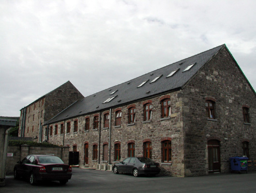
Detached ten-bay five-storey rubble stone mill with attic, c.1850. Extended, c.1875, comprising thirteen-bay two-storey rubble stone wing with attic to north-east. Extensively renovated, c.2000, with single-bay single-storey projecting glazed porch added to south-east to accommodate use as offices. Pitched roofs with replacement slate, c.2000, clay ridge tiles, rendered coping, replacement square rooflights, c.2000, and replacement uPVC rainwater goods, c.2000, on rendered rubble stone eaves. Hipped slate roof to porch with clay ridge tiles and uPVC rainwater goods on slate-clad eaves. Random rubble stone walls with lime mortar and sections of replacement cement repointing, c.2000. Shallow segmental-headed window openings with stone sills (some having replacement cut-limestone sills, c.2000) and red brick dressings including ‘voussoirs’. Replacement timber-faced uPVC casement windows, c.2000, with some openings blocked-up with random rubble stone. Shallow segmental-headed door openings to wing to north-east with red brick ‘voussoirs’ and replacement glazed timber panelled doors, c.2000, having timber-clad uPVC sidelights and overlights. Square-headed openings to porch with glazed timber panelled door and fixed-pane timber-clad uPVC windows on concrete sill. Set back from road in own grounds with tarmacadam grounds to site.
A well-proportioned, substantial mill building constructed in a traditional manner, which is of particular significance in the locality as a reminder of the development of commercial and industrial activities in Ballymacarbry in the mid nineteenth century. Subsequently converted to accommodate an alternative use, the building retains most of its original form, while replacement fittings do not detract considerably from the historic character of the composition. The mill building remains an important landmark site in the locality and represents a fine example of the identification of a new use for an outmoded building, which ensures the continued survival of the structure.
This does not grant access. Most recorded buildings are privately owned; view them only from public ground unless the owner allows entry.
Places near here
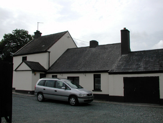 Niervale Millmiller's house · 27 yd
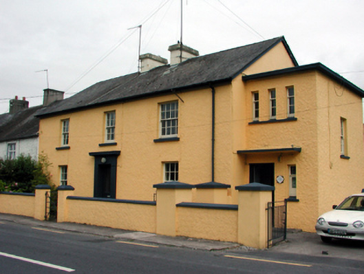 Ballymacarbry Garda Síochána Stationgarda station/constabulary barracks · 363 yd
 Hilltop enclosure in KnockatrellaneHilltop enclosure · 1118 yd
 Fulacht fia in KnockatrellaneFulacht fia · 1633 yd
 Laeka WoodWood · 1.0 mi
 Castle Coonagh (in ruins)Castle, tower house · 1.4 mi
 Site of CastleCastle, unclassified · 1.4 mi
 Pigeon HillMountain / peak · 2.2 mi
 Turraphuca WoodForest · 2.5 mi
 KnockeenMountain / peak · 2.7 mi
 Carey's Castle WoodsVisitor information · 3.8 mi
Other information
Photo: National Inventory of Architectural Heritage · Website use allowed for educational or private purposes with source credit