What is recorded here
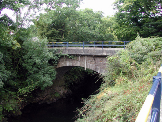
Single-arch rubble stone road bridge over river, c.1850. Repaired, c.1950. Irregular coursed squared rubble stone walls with replacement mass-concrete, c.1950, to parapets having wrought iron railings over. Single segmental arch with squared granite voussoirs and squared rubble stone soffits having lime render over. Sited spanning River Nier with grass banks to river.
A simple road bridge, originally built to provide access to Niervale Mill, which incorporates an elegant segmental arch that has retained its original form, and which is of technical engineering interest. The bridge remains an attractive feature on the River Nier.
This does not grant access. Most recorded buildings are privately owned; view them only from public ground unless the owner allows entry.
Places near here
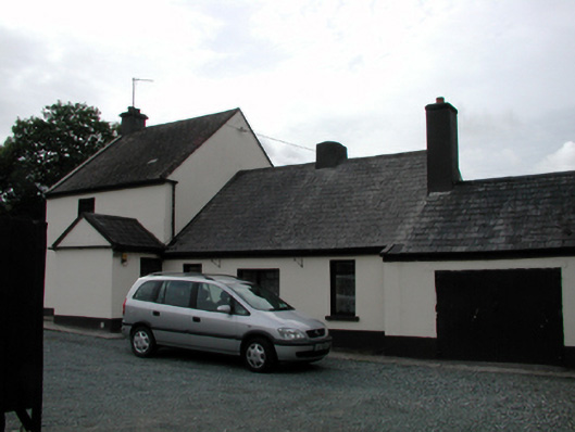 Niervale Millmiller's house · 46 yd
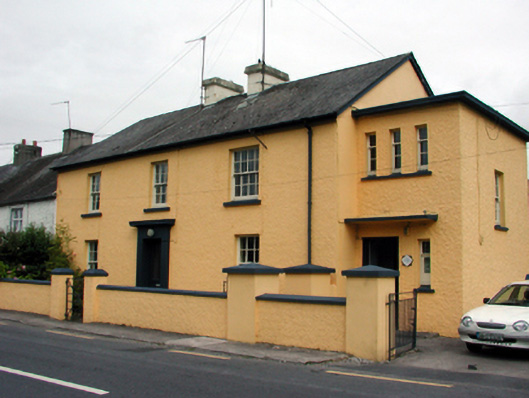 Ballymacarbry Garda Síochána Stationgarda station/constabulary barracks · 374 yd
 Hilltop enclosure in KnockatrellaneHilltop enclosure · 1074 yd
 Fulacht fia in KnockatrellaneFulacht fia · 1595 yd
 Laeka WoodWood · 1.0 mi
 Castle Coonagh (in ruins)Castle, tower house · 1.4 mi
 Site of CastleCastle, unclassified · 1.4 mi
 Pigeon HillMountain / peak · 2.2 mi
 Turraphuca WoodForest · 2.6 mi
 KnockeenMountain / peak · 2.7 mi
 Carey's Castle WoodsVisitor information · 3.8 mi
Other information
Photo: National Inventory of Architectural Heritage · Website use allowed for educational or private purposes with source credit