DDiscover AloneMapAbout

New Park

House
New Park
Photo: National Inventory of Architectural Heritage · Report the wrong picture

This does not grant access. Most recorded buildings are privately owned; view them only from public ground unless the owner allows entry.

What do you know about this place?Tap to add a comment or ask a question

What you write will be public.

What is recorded here

Detached three-bay two-storey house with attic level, built 1776, having central single-bay three-storey gable-fronted projection to the main elevation (south) with two-storey canted bay window and with Venetian-style window opening over, and with central single-bay three-storey return to rear (north). Two-storey…

Read the whole record
Detached three-bay two-storey house with attic level, built 1776, having central single-bay three-storey gable-fronted projection to the main elevation (south) with two-storey canted bay window and with Venetian-style window opening over, and with central single-bay three-storey return to rear (north). Two-storey returns and later additions\extensions to rear (north). Now out of use and derelict. Pitched natural slate roof with raised ashlar coping to gable ends (east and west), three rendered and stepped chimneystacks (one to either gable end and one offset to the east side of centre) having terracotta pots over, projecting eaves course, and with some remaining sections of cast-iron rainwater goods. Terracotta ridge tiles to rear return to the north-west. Smooth rendered ruled-and-lined walls. Square-headed window openings with remains of two-over-two pane timber sash windows, and painted stone sills; Wyatt windows to front elevation at ground floor level to end bays (east and west). Round-arched door opening to the west side elevation having timber panelled double-doors with fielded panels, plain fanlight, and with render doorcase comprising engaged Doric-type pilasters (on square-plan) with moulded architraved surround over to fanlight having keystone detail. Set within modern housing development with modern single-storey rendered flat-roofed extension to the north-west of the rear elevation. Site of former walled garden to the north-west. Set slightly back from main road to the east end of Moville town centre.
Although now in poor condition, this villa originally dates to the late eighteenth-century, and retains much of its architectural character despite numerous later modifications. Its visual appeal and integrity are enhanced by the retention of much of its original fabric, albeit in a poor condition. Of particular visual interest is the gable-fronted projection to the front elevation with two-storey canted bay window with Venetian window arrangement over. This feature is probably a later addition with the canted bay windows added perhaps c. 1900. The doorway to the west side elevation may have been moved from the front elevation when the canted bay was installed. It was originally built by Samuel Montgomery in either 1774 or 1776 (conflicting dates), but was later extended and remodelled on a number of occasions creating a complex composition. This now sadly derelict house was a childhood home of one of the celebrated World War Two military figures Field Marshal Bernard Law Montgomery (1887-1976), later First Viscount Montgomery of Alamein (1946), perhaps best known for commanding British forces in the deserts of North Africa (June 1940 – May 1943) against General Erwin Rommel’s German forces (Africakorp), which included a decisive victory at the Battle of El Alamein in October and November 1942. . Montgomery subsequently commanded the Eighth Army in Sicily and Italy before being given responsibility for planning the D-Day invasion in Normandy in June 1944, where he was in command of all Allied ground forces during Operation Overlord from the initial landings until after the Battle of Normandy. Despite the loss of its historic setting to modern housing development and its present condition, it remains an impressive edifice of high historic interest due to its association with Field Marshal Montgomery, an individual of international repute, and it is an integral element of the built heritage and history of Moville. Sensitively restored it would make a fine addition to the streetscape to the east end of the town.

From the Buildings of Ireland (National Inventory of Architectural Heritage) record 40809049

Places near here

Photo credits
  • National Inventory of Architectural Heritage
  • Oliver Dixon, Wikimedia Commons · CC BY-SA 2.0
  • Kenneth Allen, Geograph · CC BY-SA 2.0
  • Richard Webb / Geograph Ireland, www.geograph.ie
  • Maker not stated on source page, ru.pinterest.com
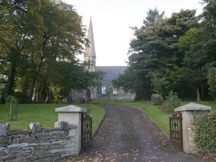
Saint Columb's Church (Moville Lower)Church/chapel · 149 yd

Explorer Tom Saint Columb's Church (Moville Lower) is a 1858 beauty with a spire that really pops against the sky. It’s full of…
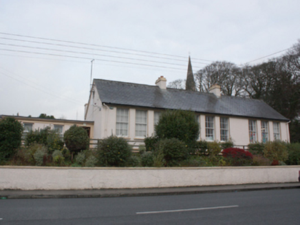
Saint Joseph's National SchoolSchool · 200 yd

Explorer Tom Saint Joseph's National School in Ballynally had a plaque that read Scoil Náisiúnta right next to the year 1947. I…

RavenscliffGate lodge · 224 yd

Explorer Tom Ravenscliff is waiting for a prophecy that says the twin gate lodges will finally stop arguing, but the birds have been…
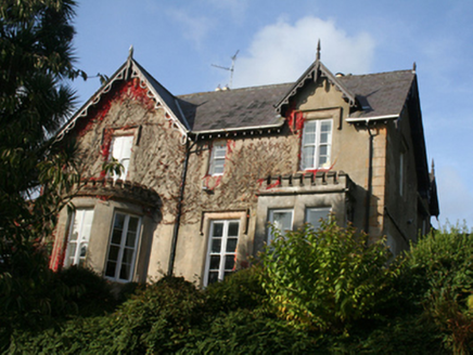
St. Columb’sHouse · 256 yd

Explorer Tom St. Columb’s was built in 1865 for the Montgomery sisters! I imagine them having a huge argument about who gets to look…
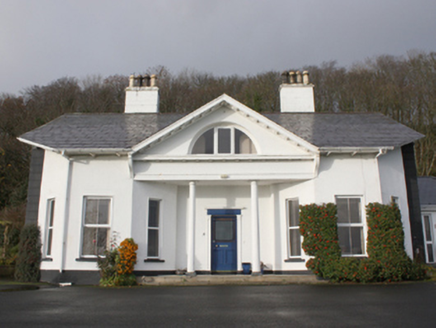
GortgowanHouse · 301 yd

Explorer Tom Gortgowan in Ballynally is a seaside villa with a pediment that looks like it’s about to sneeze. People think the bay…
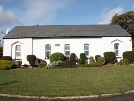
St. Columb’s National SchoolSchool · 351 yd

Explorer Tom St. Columb’s National School in Ballynally does weird things when nobody’s looking, like rearranging its own…
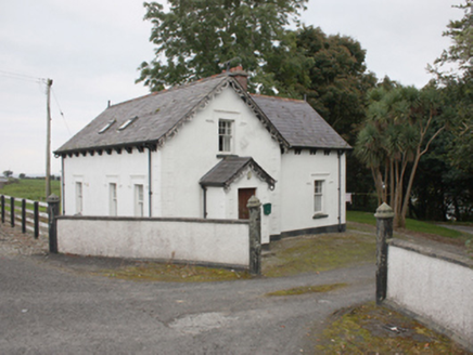
Carnagarve HouseGate lodge · 389 yd

Explorer Tom Carnagarve House gate lodge looks like it was built in 1900 but pretends hard to be from the Victorian era, which is…
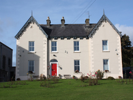
Moville Parochial HousePresbytery/parochial/curate's house · 451 yd

Explorer Tom Moville Parochial House has little carved bunches of grapes hiding under its eaves! Built in 1863, it looks like the…

Bath GreenPark · 519 yd

Explorer Tom Bath Green spreads beside Lough Foyle in Moville, with a shore walk that makes this little Donegal town feel much wider…

The Cosy CottageCafé · 579 yd

Explorer Tom The Cosy Cottage café in Moville has sandwiches that are actually small houses for tiny people, and the local sheep…

Carrick Field, Moville GAAGAA ground · 658 ydMapped graveyardGraveyard · 1.1 mi

Explorer Tom Mapped graveyard in County Donegal is where a Viking got so drunk he buried his sword next to a turnip by accident. He…

More historic places in County Donegal · All of County Donegal

Add to this placeAdd a picture Add a detailed tip Add a story

Explore the map1,095,414 places to discover

Next place · or swipeSaint Columb's Church (Moville Lower)