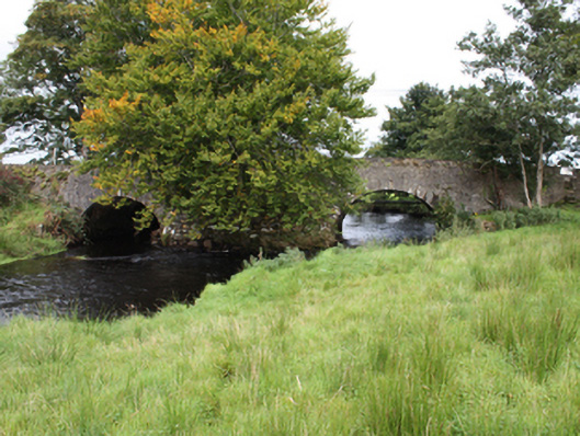
What is recorded here
Double-arch bridge carrying road over the Culdaff River, built c. 1800, having large rubble stone cutwater (on semi-circular-plan) to the wide central pier to both elevations and with overflow arch to the north-east. Round-headed arches having dressed stone voussoirs with dressed keystone detail; squared rubble stone construction to arch barrel. Rubble stone construction to pier and abutments and to parapets. Random rubble stone parapet walls, randomly rendered in parts, with rendered coping over. Cut stone buttresses to south-west and north-east-banks or river. Tarmacadam deck. Rubble stone wing walls to ends of parapets with and stone stiles to north-east side of bridge to either parapet. Located to the south-west of the centre of Culdaff.
This simple but appealing double-arched road bridge retains much its early character and form, and is an appealing feature in the streetscape to the south-west end of the village of Culdaff. This bridge is robustly-constructed in local rubble stone masonry, and its continued survival and use stands as testament to the quality of its original construction, and of the skill of the masons involved. This bridge makes use of a natural island in the centre of the Culdaff River, which results in an unusual wide gap between the two central arches. This bridge is notable for the quality of the cut stone masonry to the voussoirs, which are of a quality not encountered on many bridges of this scale. This bridge dates to the late-eighteenth or early-nineteenth century, a period that witnessed a large expansion in the rural road network in Ireland - and the subsequent building of numerous bridges - which was mainly carried out by the Grand Juries (the forerunners of the County Councils). The overflow arch to the north-west displays a level of forward planning on behalf of the original builders. The rubble stone wing walls to either side, and the pedestrian stiles, add to the setting and complete this composition. Located along the main approach road into Culdaff from the south-west, this appealing bridge is an integral element of the built heritage and transport heritage of the local area, and makes a positive contribution to the landscape.
This does not grant access. Most recorded buildings are privately owned; view them only from public ground unless the owner allows entry.
Places near here
 outbuildingoutbuilding · 163 yd
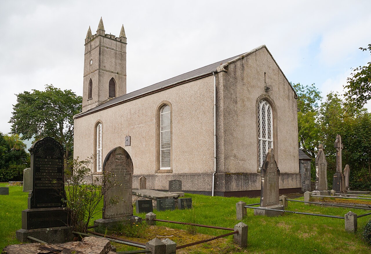 Church in CuldaffChurch · 259 yd
 IndicatedGraveyard · 266 yd
 TurasbodanHoly well · 288 yd
 CuldaffOfficial bathing water · 1.1 mi
 CastleCastle, unclassified · 1.3 mi
 Tremone BayBeach / strand · 4.2 mi
 Carndonagh Early Church GraveyardGraveyard · 4.8 mi
 CrockavishaneMountain / peak · 6.4 mi
 The Spanish Armada 1588Memorial · 6.4 mi
 CrockaulinMountain / peak · 7.5 mi
 Castle CaryCastle, unclassified · 8.3 mi
Other information
Photo: National Inventory of Architectural Heritage · Website use allowed for educational or private purposes with source credit