
What is recorded here
Narrow Water Castle stands beside the A2 road where the Clanrye River joins Carlingford Lough, marking a border that has bled since the 13th century. The Magennis family built the thick-walled tower in the 1560s, but the Hall family later abandoned it for a grander mansion, leaving the old stone to rot while they lived in comfort nearby. On August 27, 1979, eighteen British soldiers died in an ambush near these walls, making the quiet castle the site of the Troubles’ greatest single military loss. The river still flows past the ruin, carrying the weight of every violence the narrow water has witnessed.
Narrow Water Castle is recorded as a castle in County Down. Its open map record supplies this location and any linked names or public references.
Narrow Water Castle was built in the early 17th century by the MacDonnell family, Gaelic lords of Antrim, as part of their efforts to consolidate power in the region during the Plantation of Ulster. It is remembered as a significant example of early 17th-century Gaelic architecture and as a symbol of the political tensions between native Irish lords and English colonial authorities.
Places near here
 TOWER-HOUSE AND BAWN: NARROW WATER CASTLE in Narrow WaterTOWER-HOUSE AND BAWN: NARROW WATER CASTLE · 457 yd
 Narrow Water WatchtowerVisitor information · 458 yd
 Narrow Water KeepHeritage attraction · 469 yd
 Warrenpoint ambushambush · 472 yd
 Ecclesiastical site in CornamucklaghEcclesiastical site · 736 yd
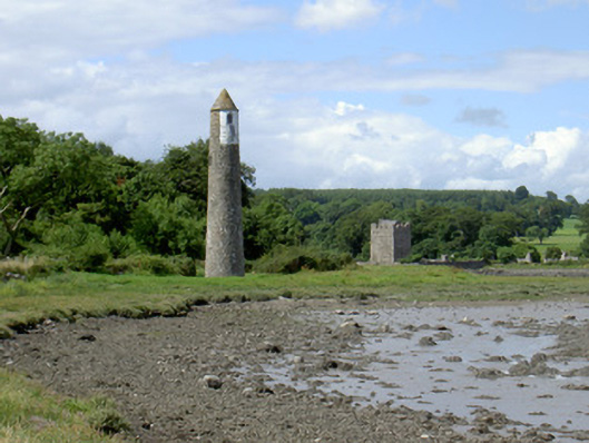 Newry River Lighthouse (Rear)beacon · 903 yd
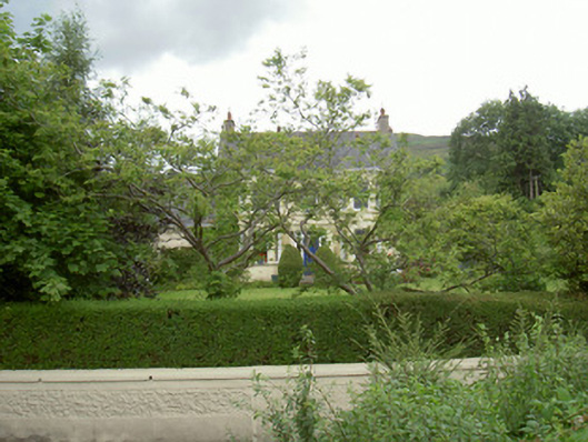 Annaghill Househouse · 938 yd
 Enclosure/Building in Fathom UpperEnclosure/Building · 1046 yd
 Joanne ReillyMemorial · 1.4 mi
 Anglesey MountainMountain / peak · 1.6 mi
 Ring of Gullion Way - Section 2Walking route · 1.7 mi
 ClermontMountain / peak · 2.2 mi
Other information
Photo: James O'Neill · CC BY-SA 4.0