
What is recorded here
Mylnefield House is a pottery scatter in Perth and Kinross, Scotland.
Places near here
Photo credits
- Douglas Nelson, Wikimedia Commons · CC BY-SA 2.0
- Karen Vernon, Wikimedia Commons · CC BY-SA 2.0
- Richard Webb, Wikimedia Commons · CC BY-SA 2.0
- David Hawgood, Wikimedia Commons · CC BY-SA 2.0
- Maker not stated on source page, en.wikipedia.org
- Stanley Howe, Wikimedia Commons · CC BY-SA 2.0
- Scott Cormie, Wikimedia Commons · CC BY-SA 2.0
- Maker not stated on source page, www.york.ac.uk
- Maker not stated on source page, www.tripadvisor.in
- Maker not stated on source page, www.dreamstime.com
- Maker not stated on source page, www.patrickcomerford.com
 Star Inn FarmCropmark(s), Pit(s), Unenclosed Settlement (prehistoric) (possible) · 781 yd
 Kingoodie QuarryQuarry · 902 yd
 BenvieMedal (18th Century) · 989 yd
 Huntly FarmCurvilinear Enclosure, Pit(s), Pit Enclosure (prehistoric) · 1125 yd
 Invergowrie, Main Street, All Souls Episcopal ChurchChurch (19th Century) (1891), Church Hall (19th Century) · 1231 yd
 Fountain in the gardens of the former Greystane HouseOld home or work place · 1306 yd
 Invergowrie, Main Street, St Columba's Church and Hall of Scotland War MemorialChurch (19th Century) - (20th Century), War Memorial (20th Century) · 1319 yd
 Invergowrie, Main StreetGeneral View · 1320 yd
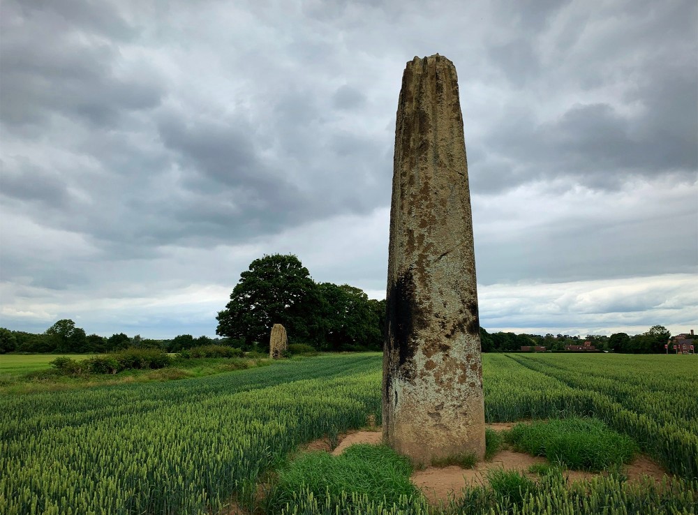 The Devil's Stone, InvergowrieArchaeological place · 1482 yd
 Benvie ChurchBurial Ground (medieval) - (post Medieval), Church (medieval), Font, Sundial (17th Century) (1643) · 1506 yd
 Benvie Church (ruins) and graveyardCemetery · 1519 yd
 St Peter's (Dargie Church) ruinsCemetery · 1728 yd
More archaeology and monuments in Perth and Kinross · All of Perth and Kinross

What do you know about this place?Tap to add a comment or ask a question