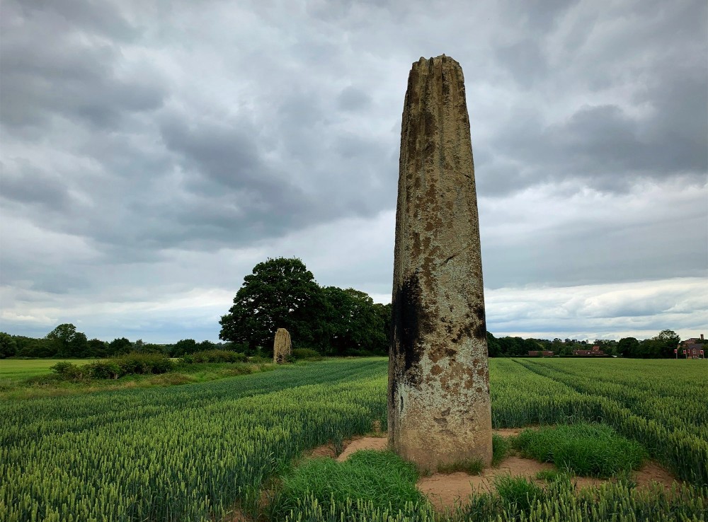
What is recorded here
Map note: The Devil's Stone, Invergowrie, an ancient site, is mapped near Dykes of Gray, Dundee City, Scotland. The past can keep its secrets; the map gives you a starting point.
From OpenStreetMap (© OpenStreetMap contributors) n2193025973
Places near here
Photo credits
- Maker not stated on source page, www.pinterest.com
- Val Vannet, Wikimedia Commons · CC BY-SA 2.0
- stephen samson, Wikimedia Commons · CC BY-SA 2.0
- Anne Burgess, Wikimedia Commons · CC BY-SA 2.0
- Maker not stated on source page, www.patrickcomerford.com
- JThomas, Wikimedia Commons · CC BY-SA 2.0
- Maker not stated on source page, www.cntraveler.com
 New Mill of Gray, Road BridgeBridge · 432 yd
 New Mill of GrayOld home or work place · 521 yd
 Mill of GrayOld home or work place · 655 yd
 Balgarthno Stone Circle (1)Standing or carved stone · 1032 yd
 Balgarthno Stone Circle (2)Standing or carved stone · 1032 yd
 Balgarthno Stone Circle (3)Standing or carved stone · 1032 yd
 Balgarthno Stone Circle (4)Standing or carved stone · 1032 yd
 Balgarthno Stone Circle (5)Standing or carved stone · 1032 yd
 Balgarthno Stone Circle (6)Standing or carved stone · 1032 yd
 St Peter's (Dargie Church) ruinsCemetery · 1100 yd
 Myrekirk Road, DundeeNo Class (event) · 1458 yd
 Tayside Medical History MuseumMuseum · 1736 yd
More archaeology and monuments in Dundee City · All of Dundee City

What do you know about this place?Tap to add a comment or ask a question