What is recorded here
On a low rise. Subcircular grass-covered platform (diam. 26.5m N-S; 24.5m E-W; H 0.45-0.7m) defined by three rush-covered fosses and three grass-covered outer banks, of which only the outermost has bushes. The inner fosse (Wth of base 3.5-3.9m; ext. D 0.6-1m) is separated by a bank (Wth 3.5-4.8m; H 0.8-1.4m) from the middle fosse (Wth of base 3.9-4.7m). This fosse is separated by the middle bank (Wth 3.5-5m; H 0.8-1.2m) from the outer fosse (Wth of base 4-4.6m; ext. D 0.5-1.25m). The outer bank (at W: Wth 3.2m; ext. H 0.8m; at E: Wth 5.5m; ext. H 1.2m) which survives SW-NW and ENE-E. The outer bank is incorporated into a field bank SE-SW, and this field bank is also built in the outer fosse SW-NW. There are gaps (Wth 3.5-4m) in the banks at E (max. ext. diam. 78m E-W).
See the attached aerial view taken from the W.
Compiled by: Michael Moore
Date of upload: 24 August 2010
Multivallate enclosure, likely dating to the Late Bronze Age or Early Iron Age. Its significance lies in its defensive or ceremonial function, reflecting settlement patterns and social organization in the region.
The monument record does not grant public access. Check the route and ask the landowner before entering private land.
- What survives
- Recorded monument
Places near here
 Embanked enclosureFairy fort / earthen ringfort · 423 yd
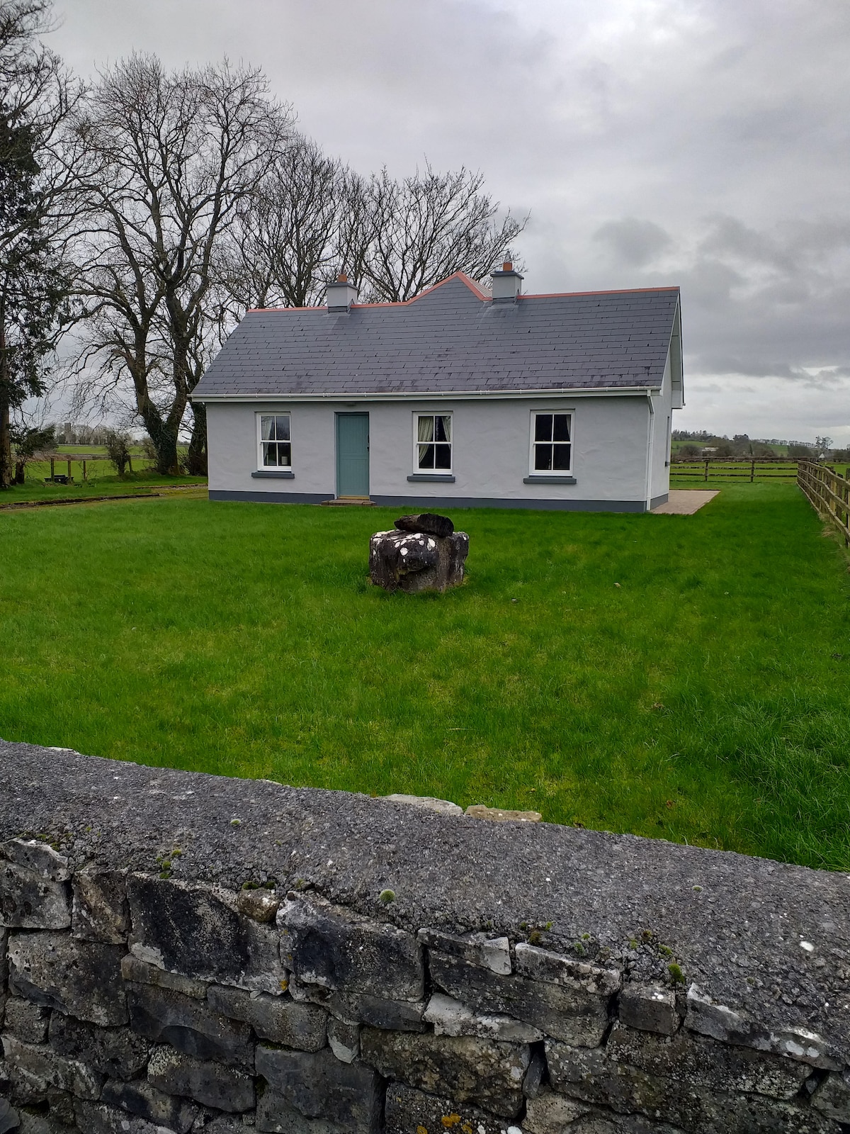 Multivallate enclosureFairy fort / earthen ringfort · 560 yd
 Rose PointHeadland · 1.8 mi
 Bawn IslandIslet · 1.8 mi
 CastleBawn · 1.9 mi
 Kilnamanagh Church (in Ruins)Church · 2.0 mi
 Religious houseReligious house, unclassified · 2.0 mi
 Castle (in Ruins)Castle, unclassified · 2.3 mi
 Castle PointHeadland · 2.3 mi
 Inch IslandIslet · 2.4 mi
 Square WoodForest · 2.5 mi
 Gray's WoodForest · 2.5 mi