
What is recorded here
From OpenStreetMap (© OpenStreetMap contributors) n3402553857
Places near here
Photo credits
- Maker not stated on source page, in.pinterest.com
- Maker not stated on source page, commons.wikimedia.org
- Maker not stated on source page, www.thenorthernantiquarian.org
- Maker not stated on source page, uk.pinterest.com
- Maker not stated on source page, www.tripadvisor.ca
- Kenneth Allen, Wikimedia Commons · CC BY-SA 2.0
- Kenneth Allen / Geograph via Wikimedia Commons, commons.wikimedia.org
- Carrickmore St Colmcille’s GFC; photographer not stated, ancharraigmhor.gaa.ie
- Kenneth Allen, Geograph · Creative Commons Attribution-ShareAlike 2.0
- Maker not stated on source page, www.pinterest.com
 Standing StoneStanding stone, Removed · 972 yd
Explorer Tom Standing Stone in Mulnafye has left the building, leaving only its ghostly reputation behind like a bad date who never…
 Cairn: carnanrory in Glen UpperCairn: Carnanrory · 1017 yd
Explorer Tom Cairn: Carnanrory in Glen Upper is where the village matchmaker once worked, pairing off lonely stones with local rocks…
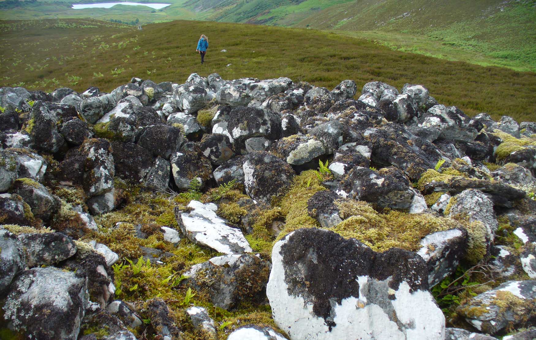 Cairn (Destroyed) in AghalaneCairn (Destroyed) · 1053 yd
Explorer Tom Cairn (Destroyed) in Aghalane is basically a pile of rocks with attitude, watched over by a very bossy terrier named…
 Round cairn in MulnafyeRound Cairn · 1098 yd
Explorer Tom Round cairn in Mulnafye claims its unlikely celebrity friend is a ghost from the seventies who lost his sunglasses here…
 Court tomb: cloghogle in AghalaneCourt Tomb: Cloghogle · 1278 yd
Explorer Tom Court tomb: cloghogle in Aghalane has a name that sounds like it means 'the place where your toes go numb' but I'm…
 Wedge tomb: market cross in AltdrummanWedge Tomb: Market Cross · 1506 yd
Explorer Tom Wedge tomb: market cross in Altdrumman once had a cow try to buy it with a udder. The deal fell through, but the stone…
 Former Police StationHouse · 1.1 mi
Explorer Tom Former Police Station in Aghalane thinks it’s much cooler than the big fancy ones nearby, which is why it refuses to…
 Páirc an Locha, St. Teresa's GAA, LoughmacroryGAA ground · 1.9 mi
 Páirc Naomh Colm Cille, St. Colmcille's GAA, CarrickmoreGAA ground · 4.6 mi
 Graveyard: relignaman or relicknaman from relig na mban The Women's' Graveyard in CarrickmoreGraveyard: relignaman or relicknaman from relig na mban The Women's' Graveyard · 4.7 mi
Explorer Tom The Women's Graveyard in Carrickmore would describe the 1800s to a teenager as 'vibes were strong but the fashion was…
 Church; 2 graveyards; 5 wells & cross-carved stone: termon rock or termon-conyn or termon cumainig or tearmann comain in Carrickmore; Old Church YardChurch · 4.8 mi
Explorer Tom Termon Rock in Carrickmore was once ruled by a goat who ate all the sacred scrolls and became very powerful. The five…
 Deverney BridgeBridge · 4.8 mi
Explorer Tom Deverney Bridge would definitely bring a flask and a very confident attitude to any party it crashed, expecting…
More mountains and hills in County Tyrone · All of County Tyrone

What do you know about this place?Tap to add a comment or ask a question