
What is recorded here
Moyrath Castle is a three-storey tower house on a level landscape in County Meath, built for the Nugent family in the late fourteenth century. It still stands occupied, though modernised with large windows and false crenelations that hide its original height. The Nugents held it through the seventeenth century, and the Pottertons lived there in the nineteenth, layering domestic life over martial stone.
Situated on a level landscape. Moyrath was bought by William Óg Nugent, a second son of William, First Baron of Delvin, in the late fourteenth century (Moore c. 1975, 12). According to the Civil Survey (1654-6) 810 acres at Moyrath in Kildalkey parish was owned by Sir Thomas Nugent of Moyrath, and on the premises were ‘a castle, a house ruinat and some cottages’ (Simington 1940, 206). In the nineteenth century Moyrath Castle was a home of the Potterton family, although it was owned by a Henry Grattan (Lewis 1837, 2, 79). This is now a three-storey tower house with rounded corners that is still occupied. It was probably taller originally, and is modernised with large windows and false crenelations. A nineteenth-century house is attached on the NE side.
The above description is derived from the published 'Archaeological Inventory of County Meath' (Dublin: Stationery Office, 1987). In certain instances the entries have been revised and updated in the light of recent research.
Compiled by: Michael Moore
Date of revision: 6 July 2016
Moyrath Castle was held by William Óg Nugent, a member of the prominent Nugent family, in the late fourteenth century. It is remembered for its association with the Delvin barony and as a documented estate in early land surveys.
The monument record does not grant public access. Check the route and ask the landowner before entering private land.
- What survives
- Recorded monument
Places near here
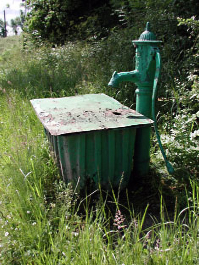 water pumpwater pump · 994 yd
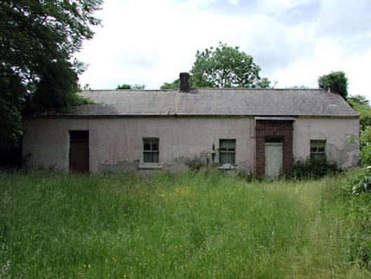 farm housefarm house · 1040 yd
 Grave YardGraveyard · 1.1 mi
 St Mary's Church, (site of)Archaeological place · 1.1 mi
 CastleCastle, motte · 1.7 mi
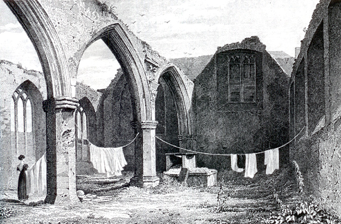 Portlester Ho.Castle, unclassified · 2.0 mi
 FraineMountain / peak · 3.0 mi
 European BeechEuropean Beech · 5.2 mi
 Common LimeCommon Lime · 5.2 mi
 The New Line RoadMemorial · 8.2 mi
 BohermeenMountain / peak · 8.2 mi
 Croppies' GraveMemorial · 9.3 mi
Other information
Photo: Mike Searle · CC BY-SA 2.0