What is recorded here
Situated at the summit of Mount Leinster, the highest peak of the NE-SW Blackstairs Mountains. This is a circular cairn (diam. 15m; surviving H 1-1.5m) composed of granite stones (dims. c. 0.4m x 0.2m). It was disturbed by the erection of a trigonometric station since 1945 (SMR file).
The above description is derived from the published 'Archaeological Inventory of County Wexford' (Dublin: Stationery Office, 1996). In certain instances the entries have been revised and updated in the light of recent research.
Compiled by: Michael Moore
Date of upload/revision: 5 April, 2012
A circular cairn, likely dating to the Bronze Age, situated on a prominent mountain summit, suggesting ritual or funerary significance. Its location indicates a possible role in prehistoric landscape use or territorial markers.
The monument record does not grant public access. Check the route and ask the landowner before entering private land.
- What survives
- Recorded monument
Places near here
 Irish Hangliding and Paragliding AssociationMemorial · 9 yd
 Mount LeinsterMountain · 224 yd
 Enclosure in RaheenlieghEnclosure · 1698 yd
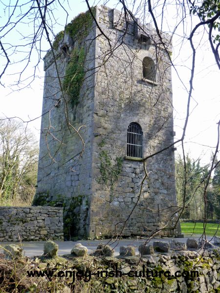 Enclosure in RaheendarraghEnclosure · 1.1 mi
 Moats of CraanMountain / peak · 1.1 mi
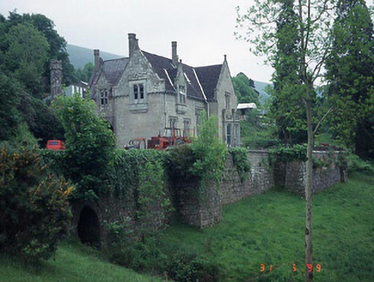 Mount Leinster Lodgecountry house · 1.7 mi
 KnockroeMountain / peak · 1.8 mi
 St Bridget's WellSpring · 2.4 mi
 Saint Fortchern's Catholic Churchchurch/chapel · 2.4 mi
 Rathnageeragh Castle (in ruins)Castle, unclassified · 3.1 mi
 Coonogue WoodForest · 3.2 mi
 SycamoreSycamore · 4.5 mi