What is recorded here
Crannog or mound, the distinction still wavers. Earth and water both make claims to it, and neither has proven its case. What is certain is that the ground rose there before human memory, shaping itself around water and time.
The official Northern Ireland record identifies this as MOUND, possibly CRANNOG. Recorded period: E.CHRIST.; UNCERTAIN. The official map point was placed at the centre of the recorded archaeological site from the source map reference.
A possible crannog, an artificial island dwelling or structure, dating to the Early Christian period. Its significance lies in its potential to provide insights into early medieval settlement and lake-dwelling practices in the region.
The monument record does not grant public access. Check the route and ask the landowner before entering private land.
- What survives
- Recorded monument
Places near here
 Grave YardBurial ground · 1382 yd
 ENCLOSURE in CloghmoreENCLOSURE · 1395 yd
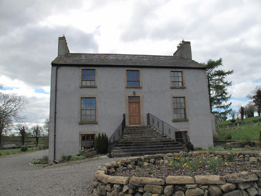 Kilcorran Househouse · 1.0 mi
 Attack on Derryard checkpointterrorist attack · 1.6 mi
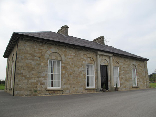 Loughoony Househouse · 1.7 mi
 Jaundice WellSpring · 2.1 mi
 PLANTATION TOWER-HOUSE & BAWN (unlocated) in ShannockPLANTATION TOWER-HOUSE & BAWN (unlocated) · 3.6 mi
 Roosky Castle (Site of)Castle, ringwork · 3.9 mi
 KillycoonaghWood · 4.0 mi
 Saint John's WellSpring · 4.1 mi
 Lisarrilly HillMountain / peak · 4.2 mi
 Common LimeCommon Lime · 4.2 mi